Azores walking guides – Pico
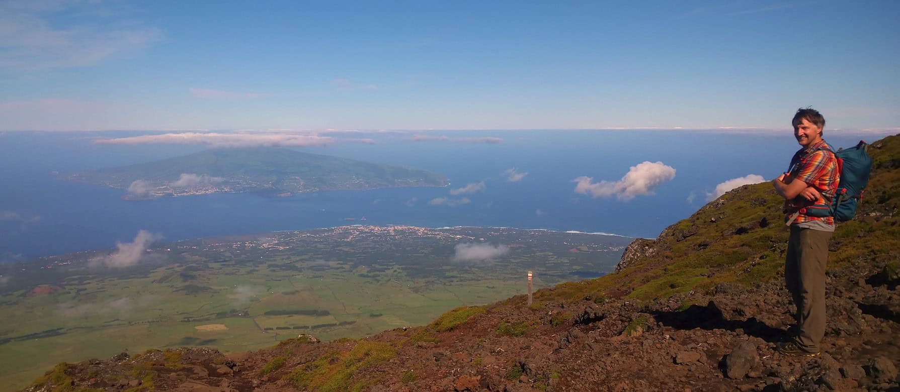
Of the three central islands of the Azores, it’s volcanic Pico which holds the biggest attraction to the dedicated walker. The challenge is an ascent of the Montanha do Pico: Portugal’s highest peak at 2351m. This immense stratovolcano dominates the landscape not only of Pico itself, but also the neighbouring islands of Sao Jorge, Faial – a triangle of islands which are both geographically and culturally close.
The three islands were settled around 1460 under the leadership of Flemish nobleman and émigré Josse van Huerter. Escaping the devastation of Hundred Years War in his native Flanders, van Huerter encouraged many his fellow countrymen to follow in his footsteps. Their technological know-how built the windmills you’ll see as you walk the island’s trails, and the ubiquitous drystone Currais walls which protect Pico’s vineyards – a unique viticultural technique which was granted UNESCO World Heritage Status in 2004.
Away from the vineyards, Pico’s trail network takes you from the volcanic Arcos do Cachorro coast in the north, via the Gruta das Torres lava caves, and down to the Laurissilva forests of the Parque Florestal dos Misterios de Sao Joao in the south.
Archipelago Choice – Frei Matias to Madalena
Linear // 10.5 km // Medium
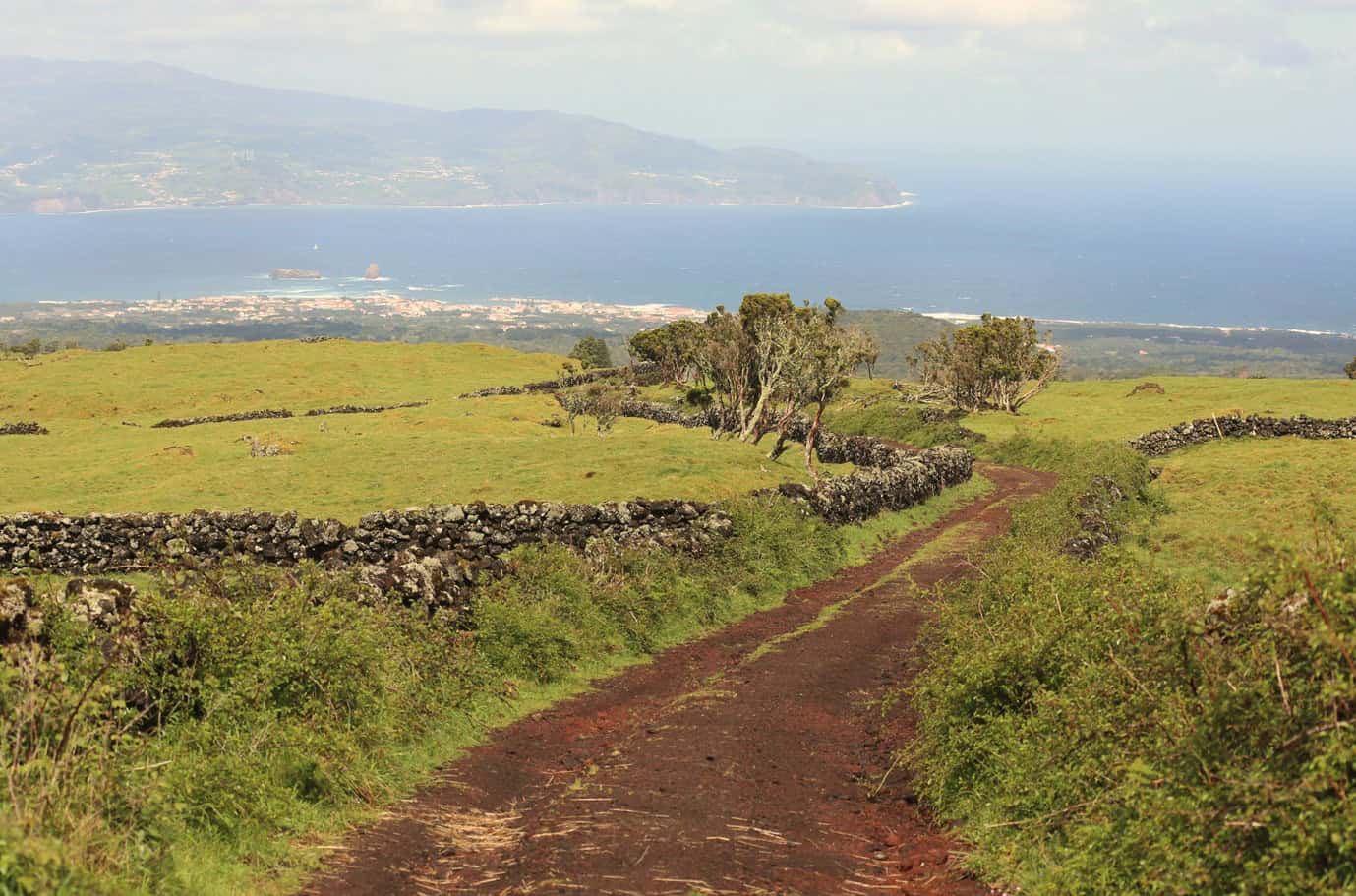
Frei Matias is an impressive lava tunnel on the western slope of Pico Mountain. If you’re travelling with us and would like to walk this trail, we’ll transfer you to Frei Matias from Madalena. From here it’s a pleasant and steady descent down tracks and back roads to Madalena, all the while with views over the west of Pico towards neighbouring Faial.
Footpath app route with live tracking
Calheta do Nesquim – Pico PRC11PIC
Circular // 8.6 km // Medium
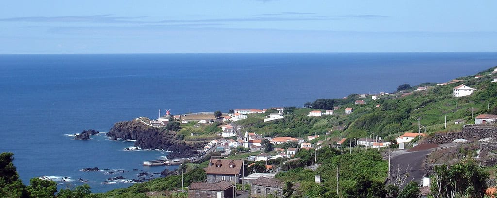
The fajas (coastal areas of flat ground formed by landslide or lava flow) of Feteira and Calheta do Nesquim are tucked away below the main road to the east of Pico. It’s well worth taking the time to drive down to the towns. Whilst you are there, explore further with this walking route that starts with Feitera before climbing to Fetais, traversing the slopes above the fajas – with views over the ocean to the south. Then descend to Calheta do Nesquim to walk alongside the coast back to your start point.
Footpath app route with live tracking
Download a printable Azores Trails guide
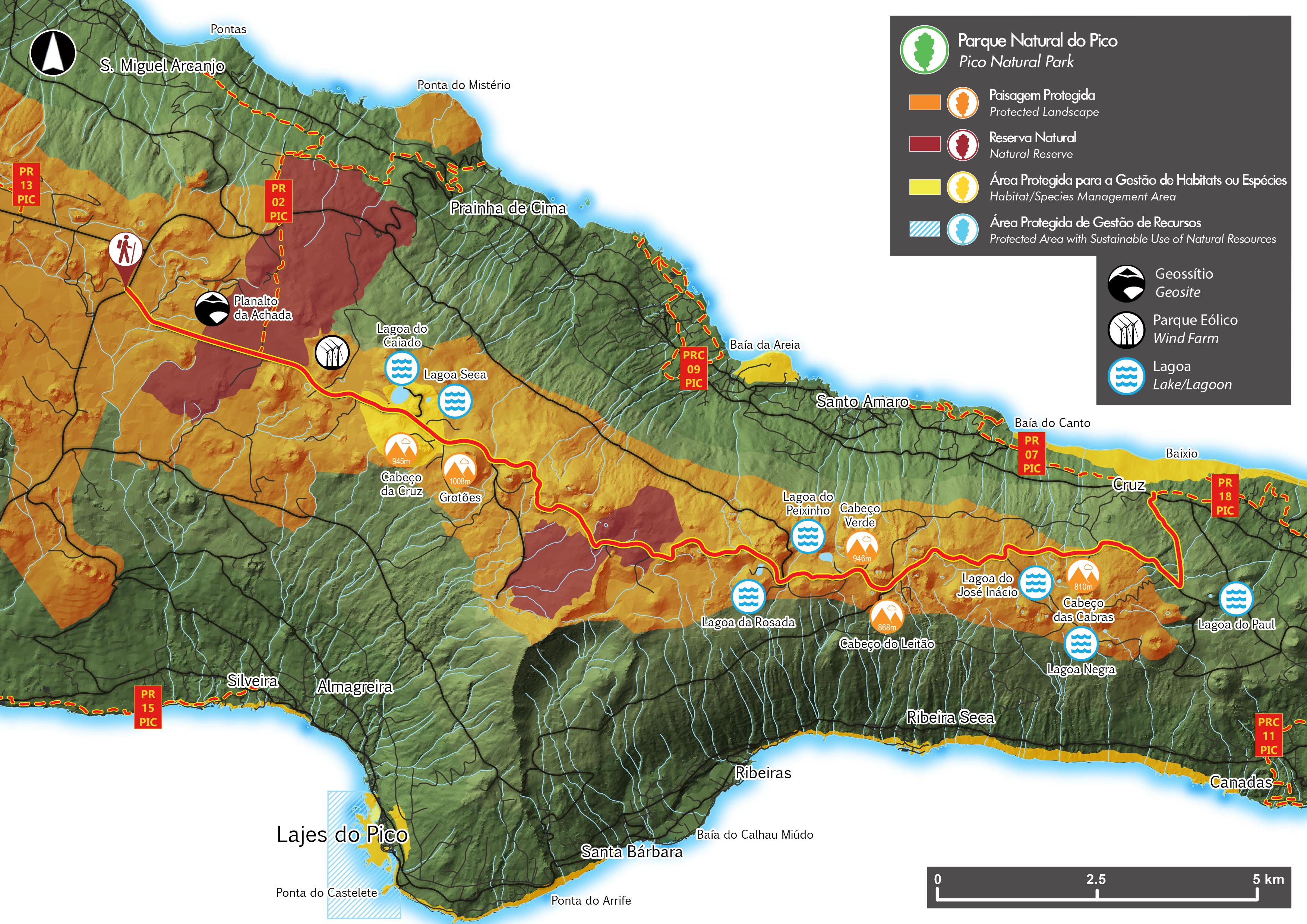
Caminho das Lagoas – Pico PR19PIC
Linear // 22 km // Medium
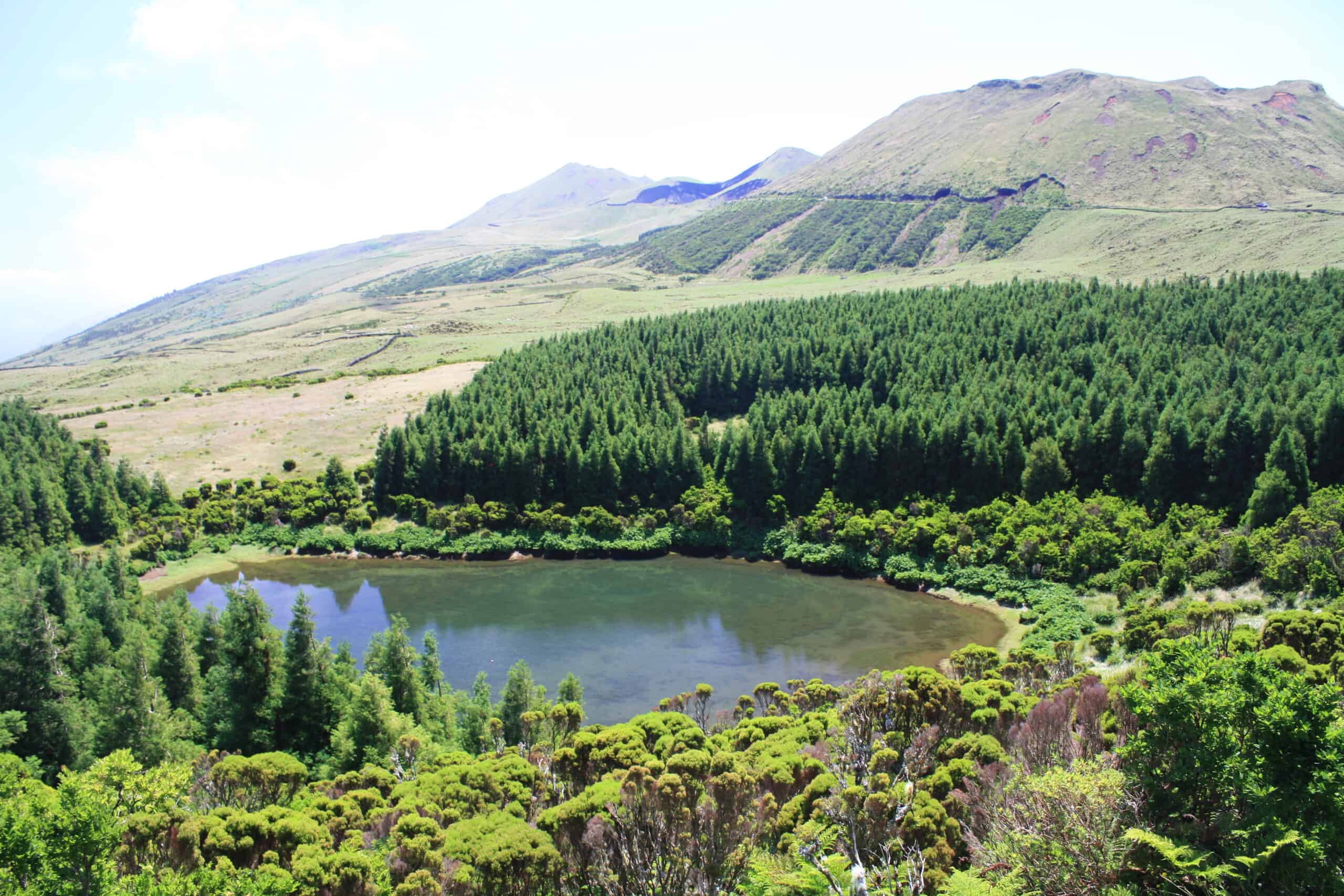
Medium for the length alone, this lovely walk follows the eastern ridge spine of Pico mountain. The route winds around the many small volcanic cones that pepper the ridge line and you’ll pass many pretty crater lakes. Eventually you’ll meet the main Estrada Regional 1-2a where the route finishes. It’s sensible to pre-arrange transfers for this long and linear walk, and take plenty of provisions – there’s no infrastructure whatsoever at the start, finish or along the trail, and that’s part of it’s charm!
Footpath app route with live tracking
Download a printable Azores Trails guide
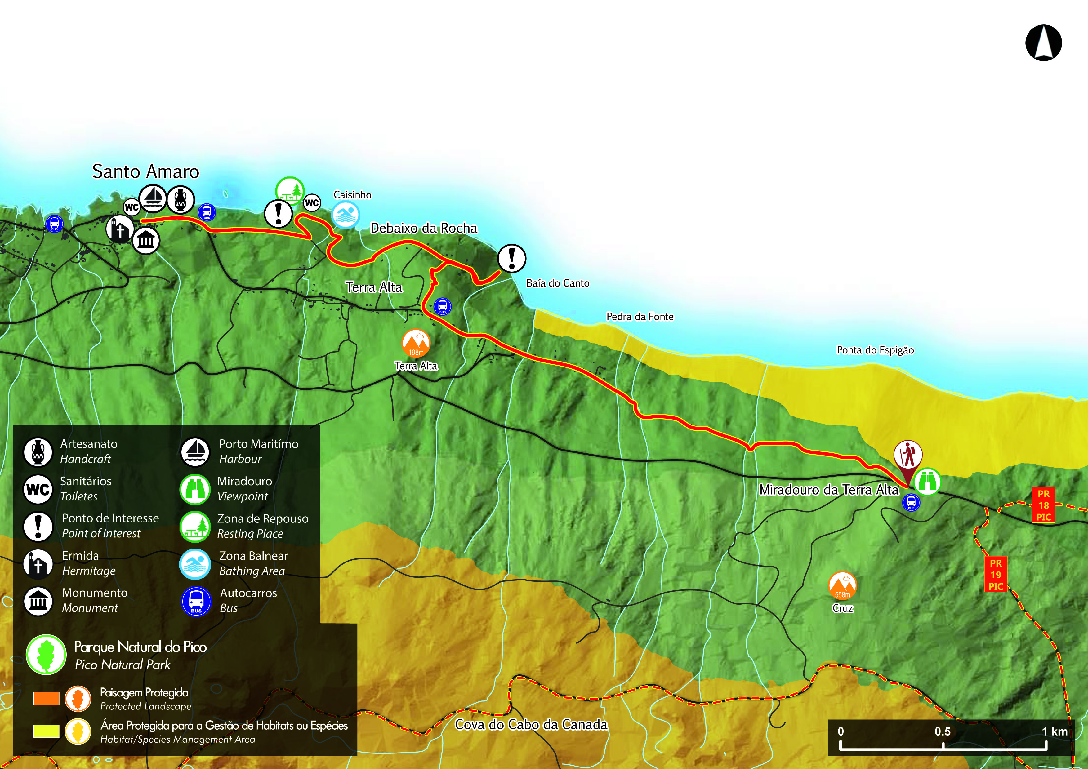
Caminho das Voltas – Pico PR07 PIC
Linear // 6 km // Easy
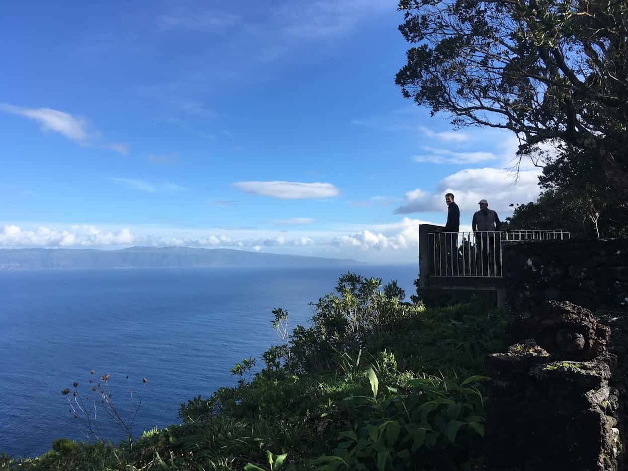
Either treat this walk as an out/back or pre-arrange taxis. Either way, we’d park at the end of the walk in Santo Amaro. The route starts up at the fantastic viewpoint of Miradouro da Terra Alta, then makes a descending traverse towards the coast and the northern fajas. You’ll pass the excellent swimming spot of the Piscinas Terra Alta before finishing in the village of Santo Amaro. Keep walking west from the end point, following the coast, and you’ll reach the Tapas Bar & Restaurant of Petipé. Dining is outdoors, with fresh seafood and meat dishes being served from the tiny shack.
Footpath app route with live tracking
Download a printable Azores Trails guide
Caminho dos Burros: Vertente Norte – Pico PR02 PIC
Linear // 8.9 km // Medium
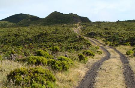
A varied and interesting descent of the northern slopes of Pico’s ridge spine, this route takes you from the centre of the island to the coast at Baia da Canas. It’s another linear walk that you’ll need to plan ahead logistically – or if you book your walking holiday with us, we’ll arrange the transfers, and a walking guide if you like.
Footpath app route with live tracking
Download a printable Azores Trails guide

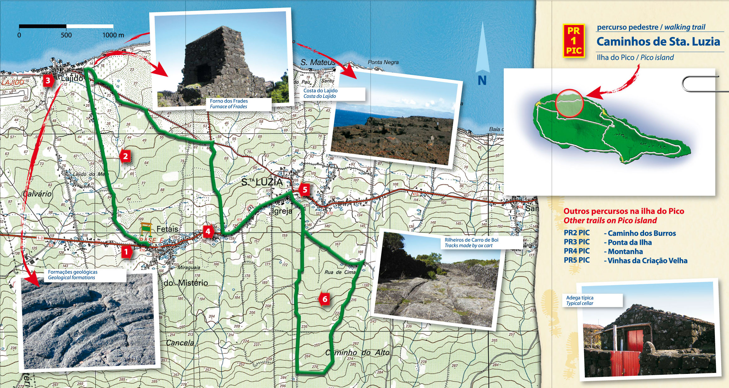
Caminhos de Santa Luzia – Pico PR01 PIC
Linear (but see below) // 10.5 km // Medium
If you follow the walk as intended by Visit Azores, you’ll finish just 2km from the start of a route that’s described as ‘linear’. We’d start in Lajido and modify the route into a figure of eight, binging you back to the coast and the village of Lajido to finish – there’s a couple of bars, a vineyard interpretation centre and a swimming area at the coast.
Footpath app route with live tracking
Download a printable Azores Trails guide
Archipelago Choice – Caminhos de Santa Luzia
Circular // 12.1 km // Medium
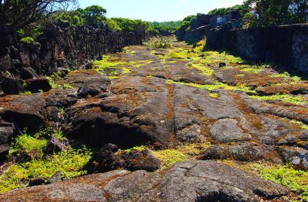
A variation of the PR01 route that starts and finishes in the coastal town of Lajido. Take swimming costumes for a post-walk dip in the Zona Balnear do Porto do Lagido! The lower part of the route follows ancient trackways of carts that have worn the volcanic bedrock, leaving their tracks in the rock. Once you reach Santa Luzia the route changes character, entering the forests that have grown up to take over abandoned fields and vineyards. A 2km connecting section takes you to Fetais where you follow the PR01 back to Lajido and your car.
Footpath app route with live tracking
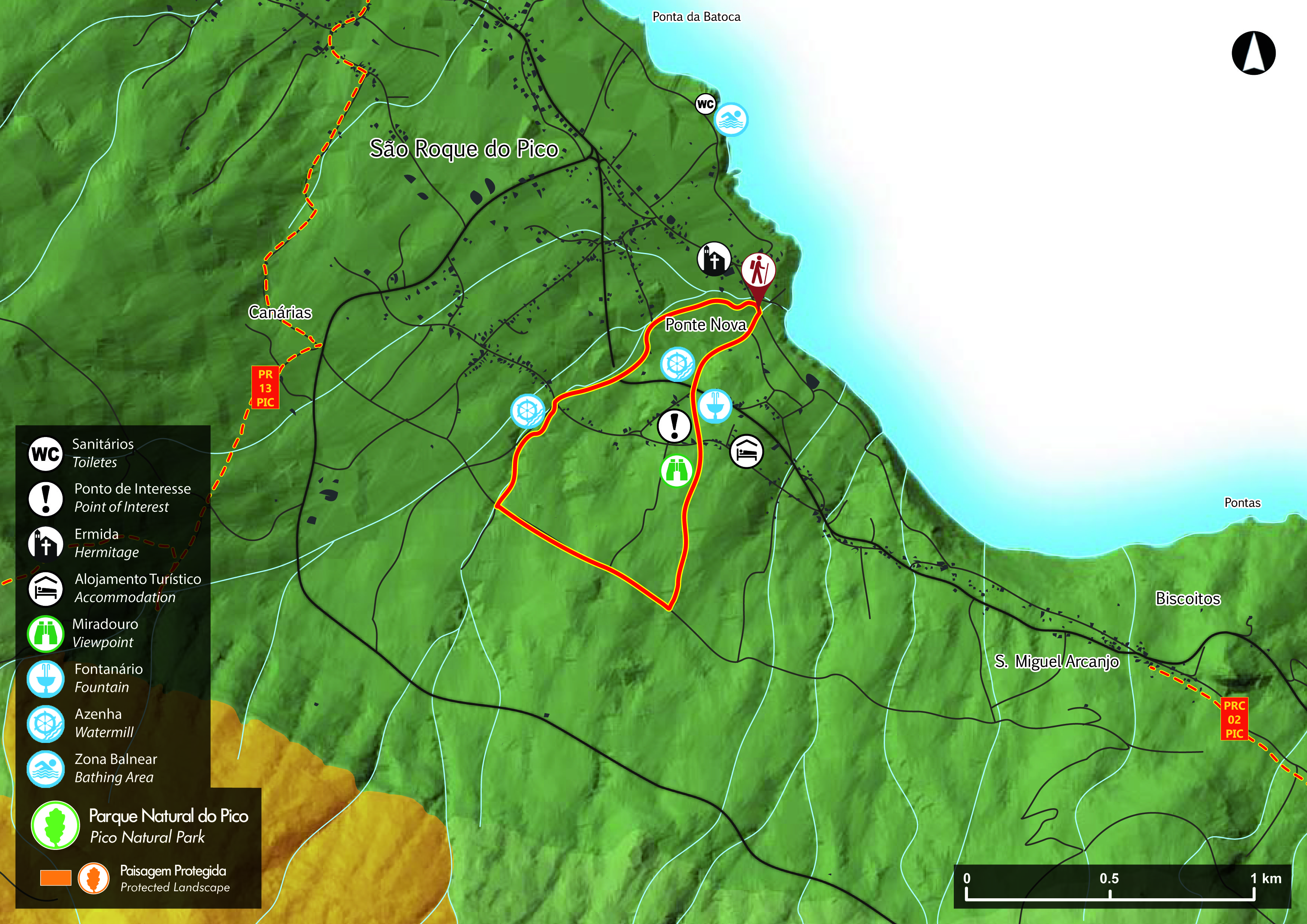
Ladeira dos Moinhos – Pico PRC08 PIC
Circular // 3.4 km // Easy
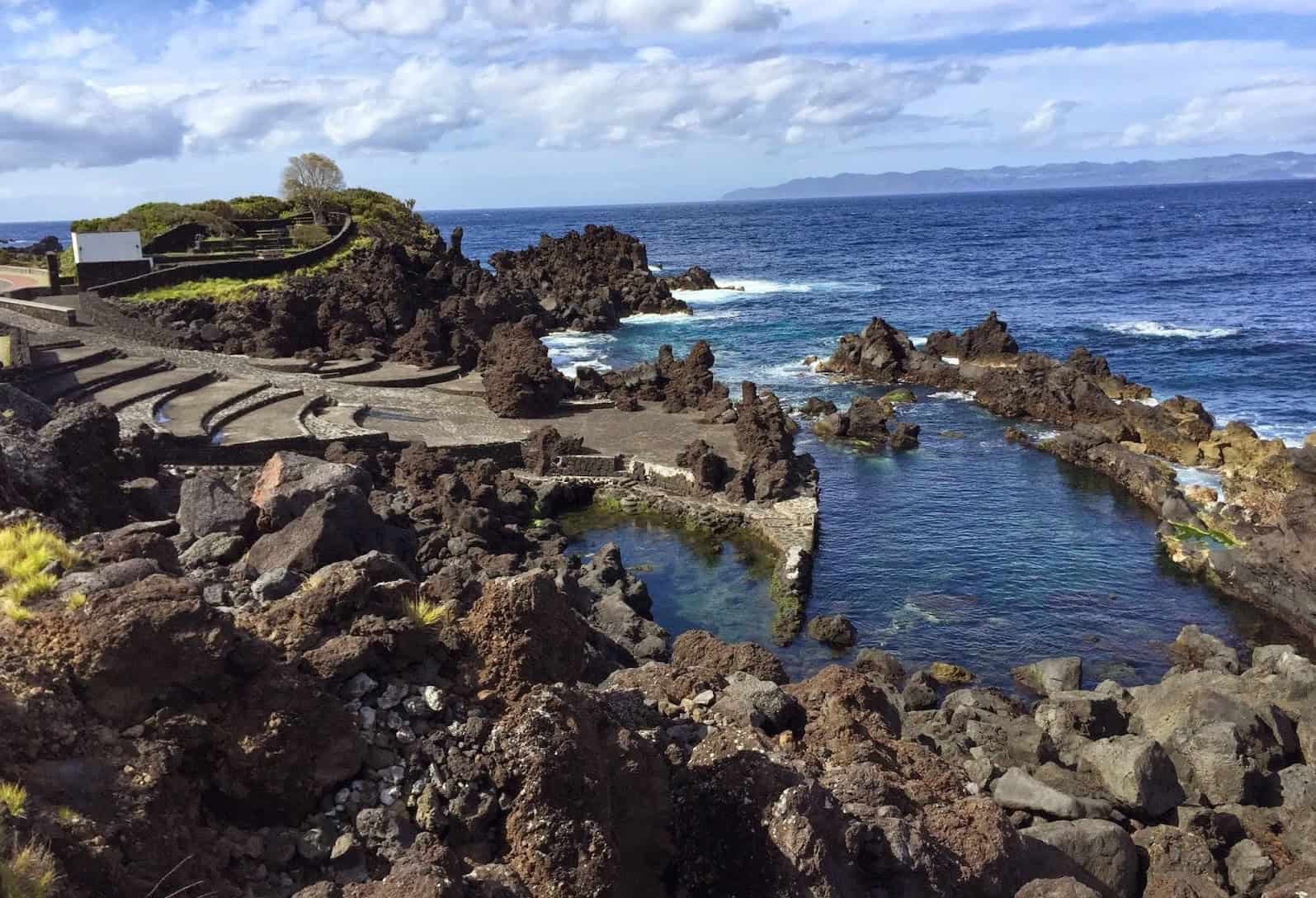
A short circular route near to Sao Roque – perhaps follow this to stretch your legs before or after bathing at the nearby swimming pools of Piscina Naturais São Roque. In fact we’d start the walk at the pools – it’s only 850m from the walk start point, a pleasant extension around Pico’s north coast.
Footpath app route with live tracking
Download a printable Azores Trails guide

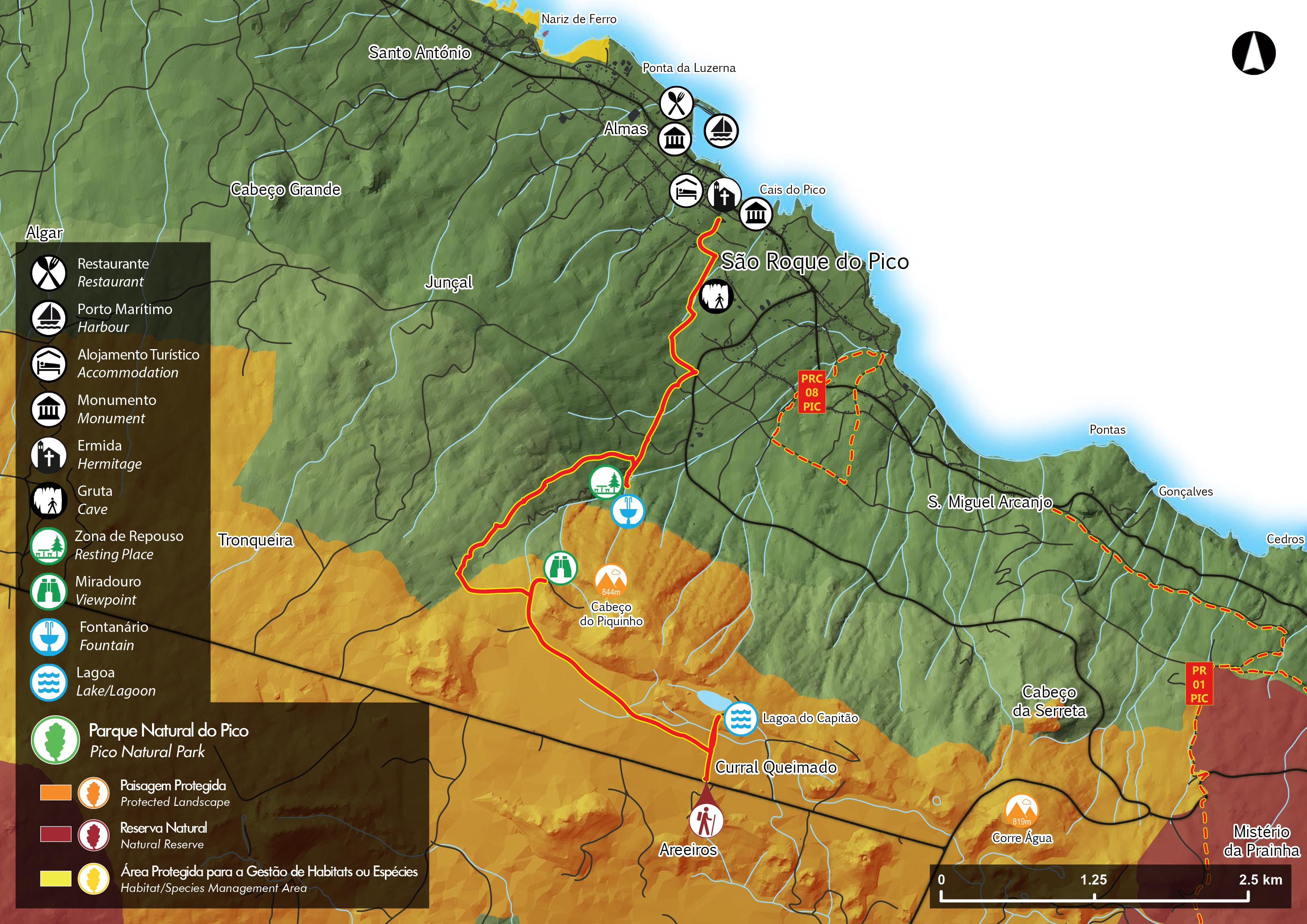
Lagoa do Capitão – Pico PR13PIC
Linear // 9.3 km // Medium
Starting at the pretty Lagoa do Capitão, this route descends the northern slopes of the Pico ridge spine to reach Sao Roque do Pico. We’d recommend parking in Sao Roque and seeking/pre-arranging a transfer to the walk start so that you return to your car. On a clear day the reflections of Pico mountain on the surface of the Capitão lake make for excellent photo memories!
Footpath app route with live tracking
Download a printable Azores Trails guide
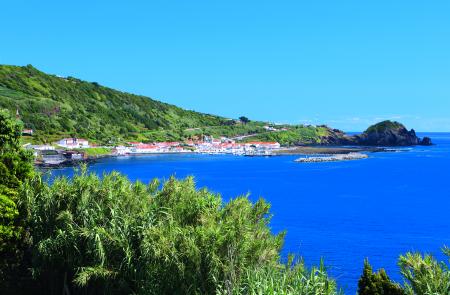
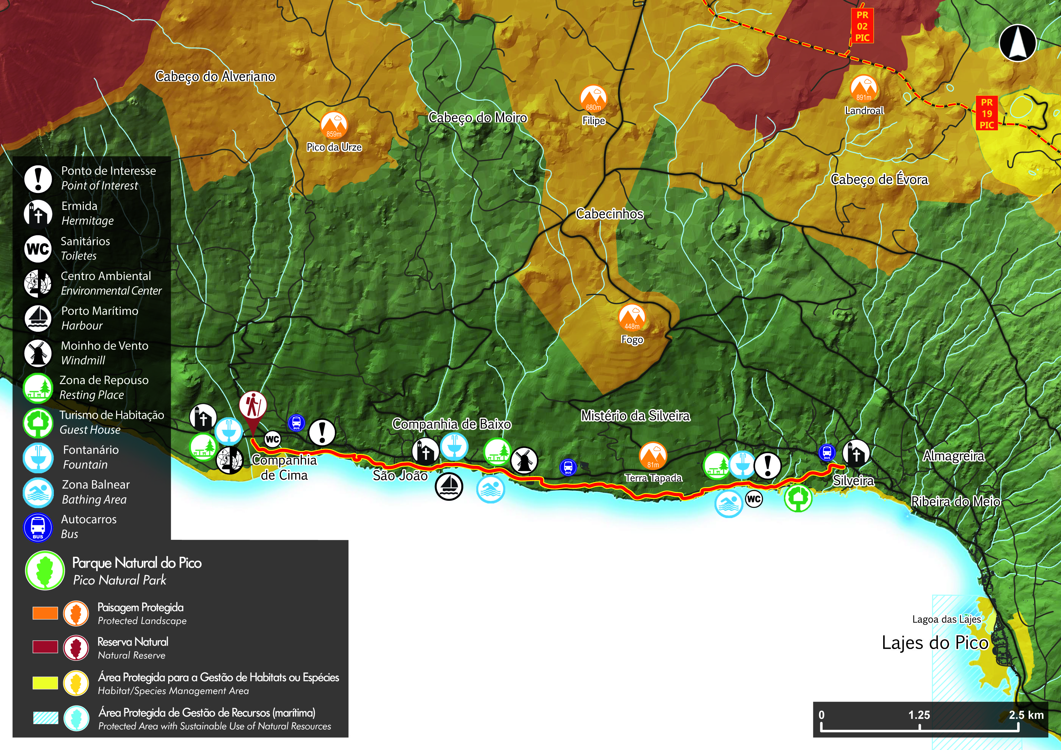
Mistérios do Sul do Pico – Pico PR15PIC
Linear // 8.5 km // Easy
Mistérios – translation Mysteries – refers to volcanic features created by eruptions witnessed by awestruck early settlers to the islands. If you’re travelling with us and staying at the Aldeia da Fonte in Silveira, we’ll include a taxi transfer to the western end of this path that you can walk all the way back to your accommodation. On the way you’ll pass the Mysteries of São João and Silveira – and also a couple of the many swimming areas that are dotted around Pico’s coastline. Take your swimming costume! You’re never far from the round-island road and particularly at the western end it’s always a short diversion to a café if you’re in need of refreshment.
Footpath app route with live tracking
Download a printable Azores Trails guide
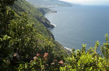
Nove Canadas da Ribeirinha – Pico PR18PIC
Linear // 8.7 km // Easy
This linear route winds it’s way from the main road through the village of Ribeirinha before visiting the seafront at Porto do Baixa (opportunity for a swim) and then Baia do Calhau – where there’s another opportunity for a swim and refreshment at the adjacent bar. If we’re arranging your transfers we’ll leave enough time for you to relax at the pool and bar!
Footpath app route with live tracking
Download a printable Azores Trails guide
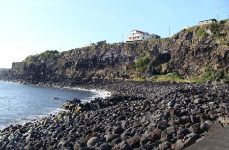
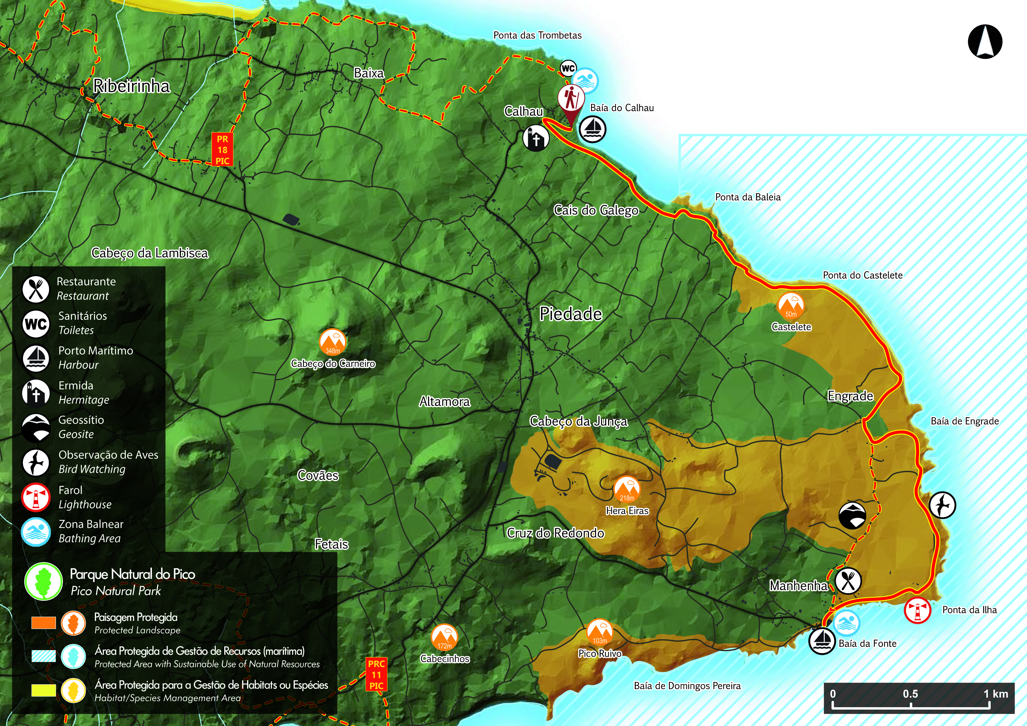
Porto Calhau – Manhenha – Pico PR03 PIC
Linear // 6 km // Hard (for the uneven surface near the shore)
This linear walk follows the rough coastline from Baia do Calhau around to the village of Manhenha. We’d recommend a modification to a circular route – see below.
Footpath app route with live tracking
Download a printable Azores Trails guide
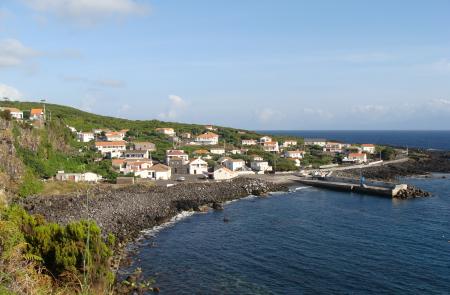
Archipelago Choice – Piedade circular walk
Circular // 12.6 km // Hard (for the uneven surface near the shore)
This circular route is a variation of the linear PR03. Park in the centre of the village of Piedade and follow minor roads to the coast at Baia do Calhau. Pick up the PR03 to Manhenha and return on back roads to Piedade. We’ve our own more detailed walk notes for those travelling with us.
Footpath app route with live tracking
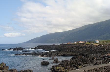
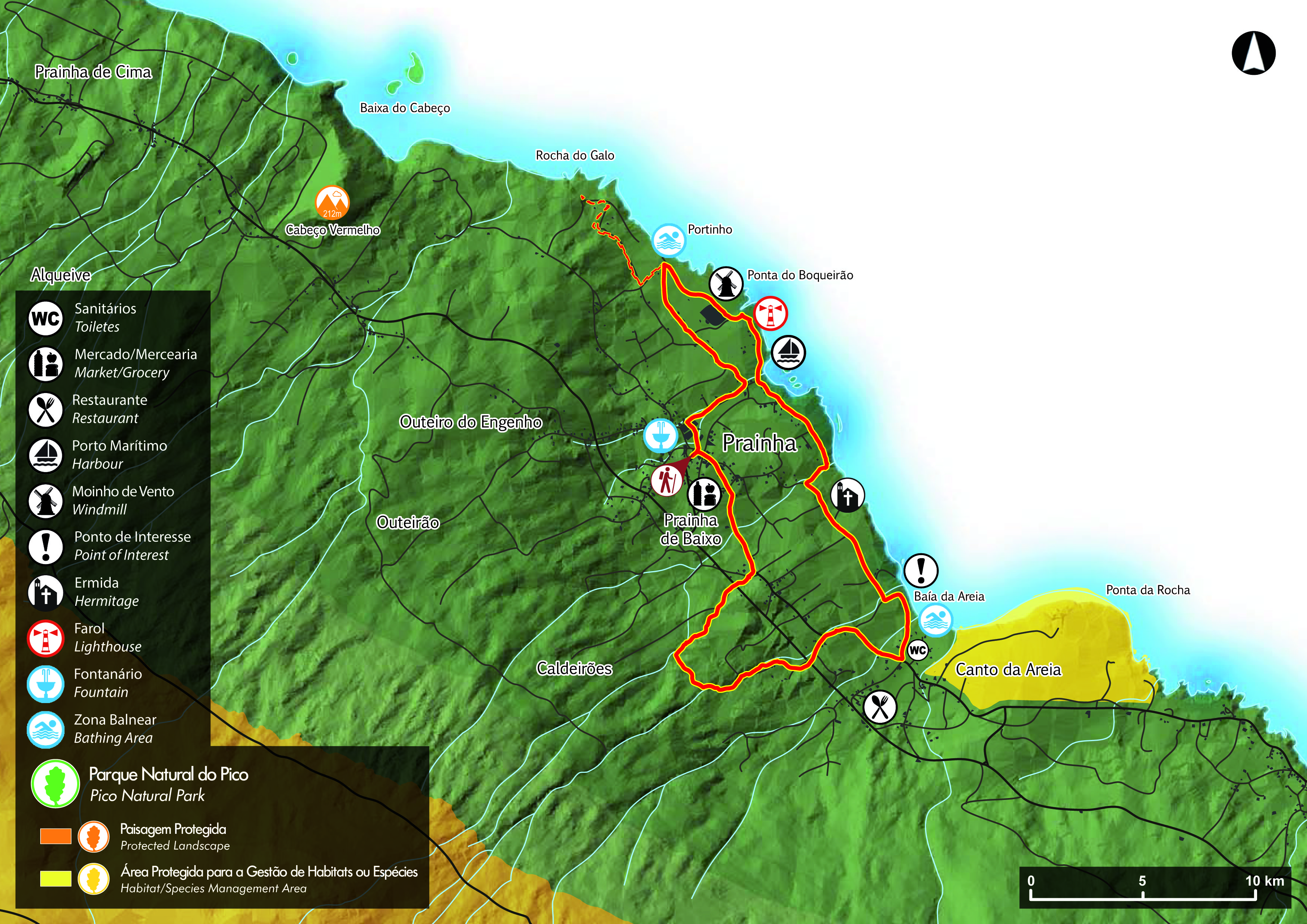
Prainha do Norte – Pico PRC09 PIC
Circular // 7.8 km // Easy
The village of Prainha is on the northern coast of Pico. This circular route explores the village and surrounding countryside, also following the coastline from the natural swimming pools of Poca da Branca to the tiny beach that gives the village it’s name. The Visit Azores route starts and finishes in the village centre but we’d start and finish at the natural pools close to the excellent Adega Acoreana tapas bar!
Footpath app route with live tracking
Download a printable Azores Trails guide
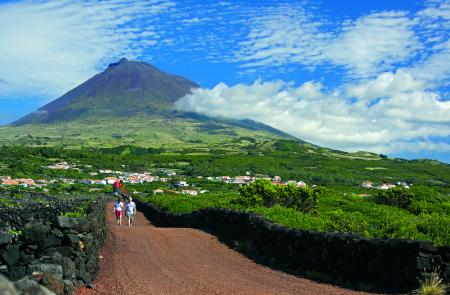
Vinhas da Criação Velha – Pico PR05 PIC
Linear // 6.9 km // Easy
This short and easy walk explores the ancient and unique vineyards alongside Pico’s western coast to the O Ancoradouro restaurant. Finishing in Madalena, this linear route is best combined with a transfer from the town to the start.
Footpath app route with live tracking
Download a printable Azores Trails guide
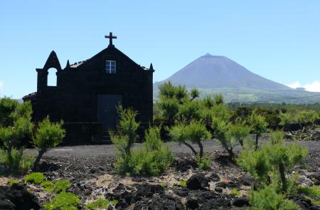
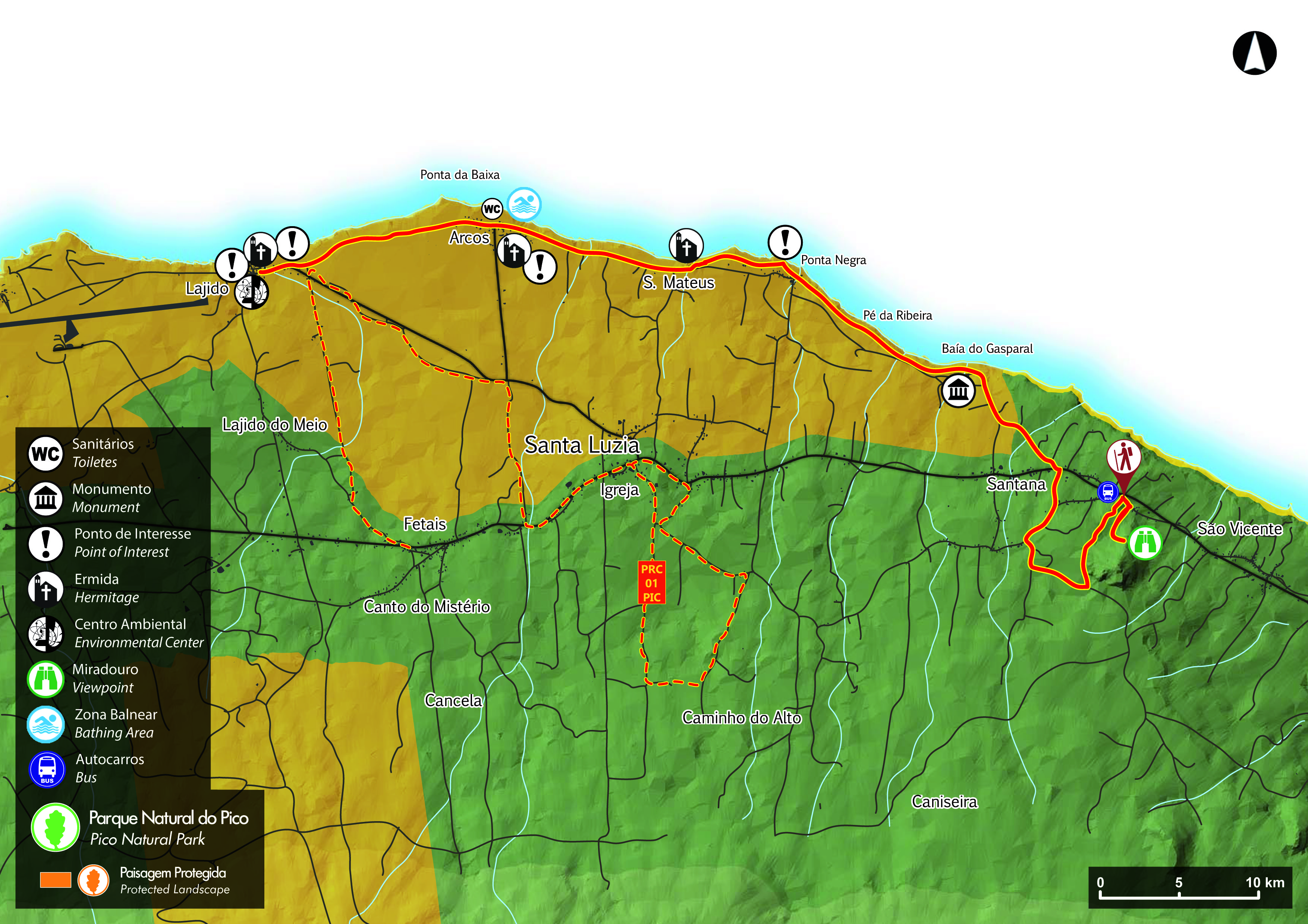
Santana – Lajido – Pico PR10PIC
Pico’s north coastline is of volcanic rock and this walk follows paths and minor roads, tracking the coast always with views to Sao Jorge. You’ll pass a couple of natural bathing areas so take your swimming gear! The walk is linear and ends in Lajido – we’d park in Lajido and arrange a transfer to the start.
Footpath app route with live tracking
Download a printable Azores Trails guide
Archipelago Choice – the Azores Specialists
We specialise in tailor-made holidays to the nine islands of the Azores. Our experienced team of specialists are ready to put together your personalised trip; just give them a call on 017687 721020.









Follow us online