Azores walking guides – Terceira and Graciosa
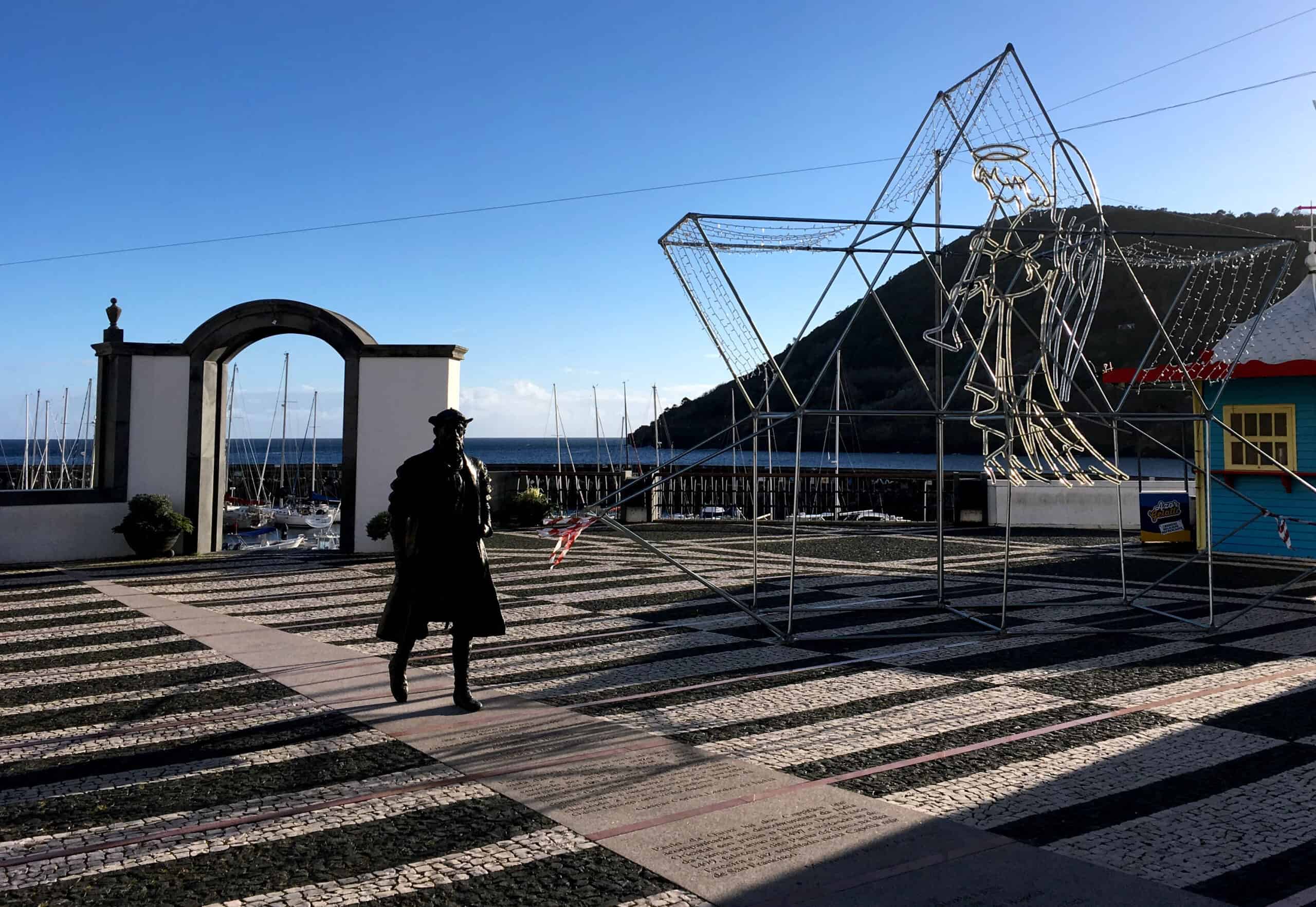
Terceira is often referred to as the cultural capital of the Azores, and Angra de Heroismo (the first city in the Azores) is home to some of the islands’ most historic architecture, museums and religious buildings. For keen walkers, Terceira’s rural interior is a honeypot of criss-crossing waymarked trails – routes through protected laurisilva and juniper forests which provide a glimpse of how the Azorean landscape looked to the first settlers arriving in the 15th Century. It’s also a very volcanic landscape, where nature has gradually turned barren lava flows into the protected nature reserve we see today, rich in endemic plant species.
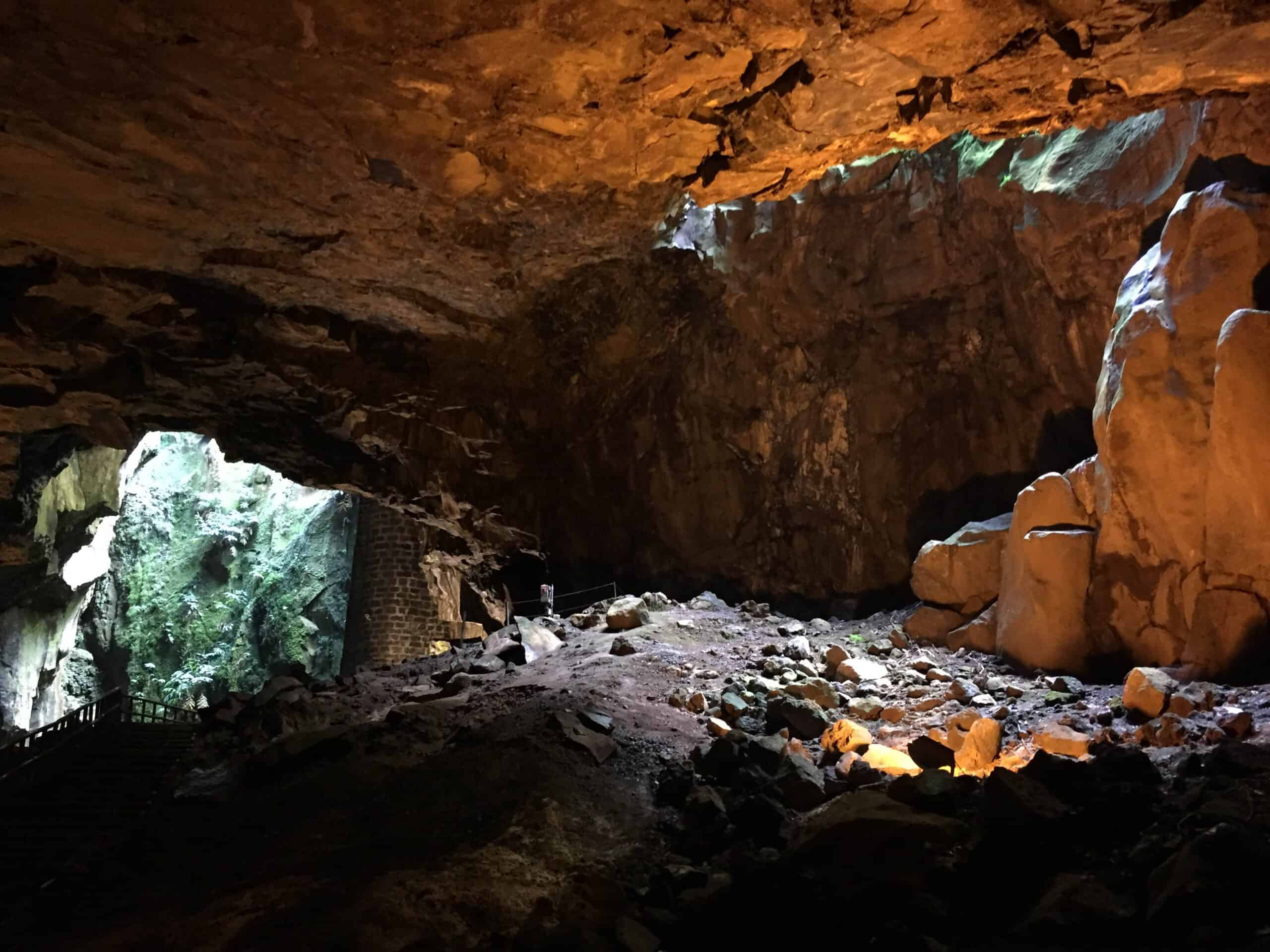
Terceira’s smaller neighbour is Graciosa is a UNESCO Biosphere Reserve, where a balance between the preservation of the natural landscape and sustainable human development is carefully maintained. For visitors to the island, this manifests itself as sparsely populated villages, traditional rural architecture, quiet roads and a laid-back pace of life. One of the Azores’ most spectacular natural monuments is on Graciosa – the extraordinary lava cave at Furna do Enxofre. This unique geological phenomenon is 200m in diameter with a 50m high vaulted ceiling made-up of volcanic prisms, with it’s own underground sulphurous lake. The island’s great caldera is above – it’s just under 2km across and 1km wide, and at the height of its volcanic activity (around 12,000 years ago), the caldera contained a 240m deep lake of lava, fed from the Furna do Enxofre cave below.
The Volta a Caldeira trail circumnavigates the caldera, and at the most southerly point of the trail you’ll come to one of the very few places in the Azores where you can see five islands – Graciosa (of course) and her closest neighbour Terceira to your left, long/thin Sao Jorge directly across the channel with Mount Pico (on the island of Pico) peeking out over the top, and little Faial off in the distance.
Passagem das Bestas – Terceira PRC07 TER
Circular // 4 km // Medium
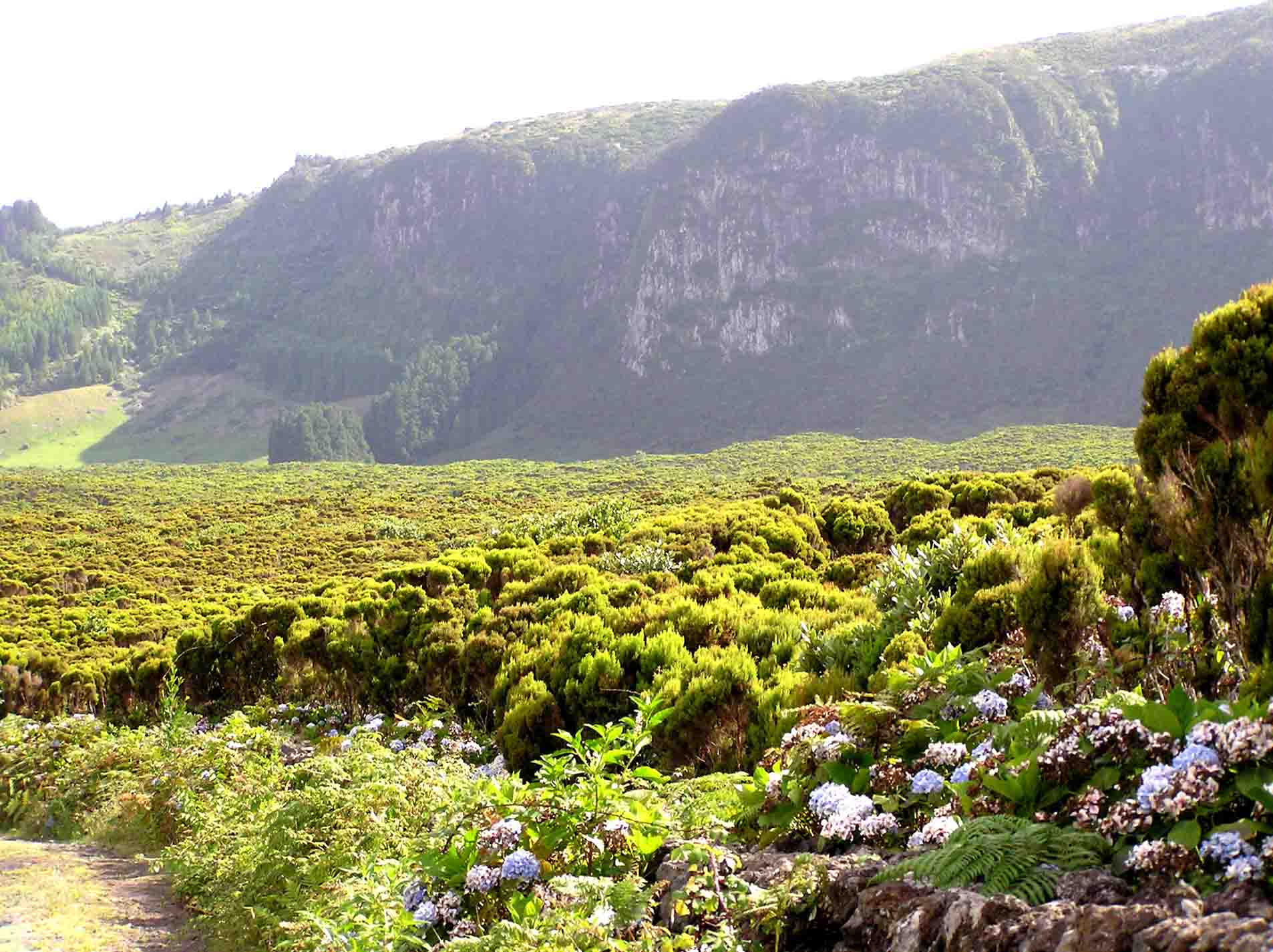
This circular route is within the geosite and protected area of Caldeira de Guilherme Moniz, a volcano that’s only 23,000 years young. You’ll explore the woodland and peatlands, at points following the old oxcart tracks – the Passagem das Bestas that lend the route their name. The mosses and peatlands are very important collectors of water and within the caldera there’s the largest natural water reservoir on the island.
Footpath app route with live tracking
Download a printable Azores Trails guide
Algar do Carvão – Furnas do Enxofre – Terceira PRC10 TER
Circular // 6.6 km // Medium
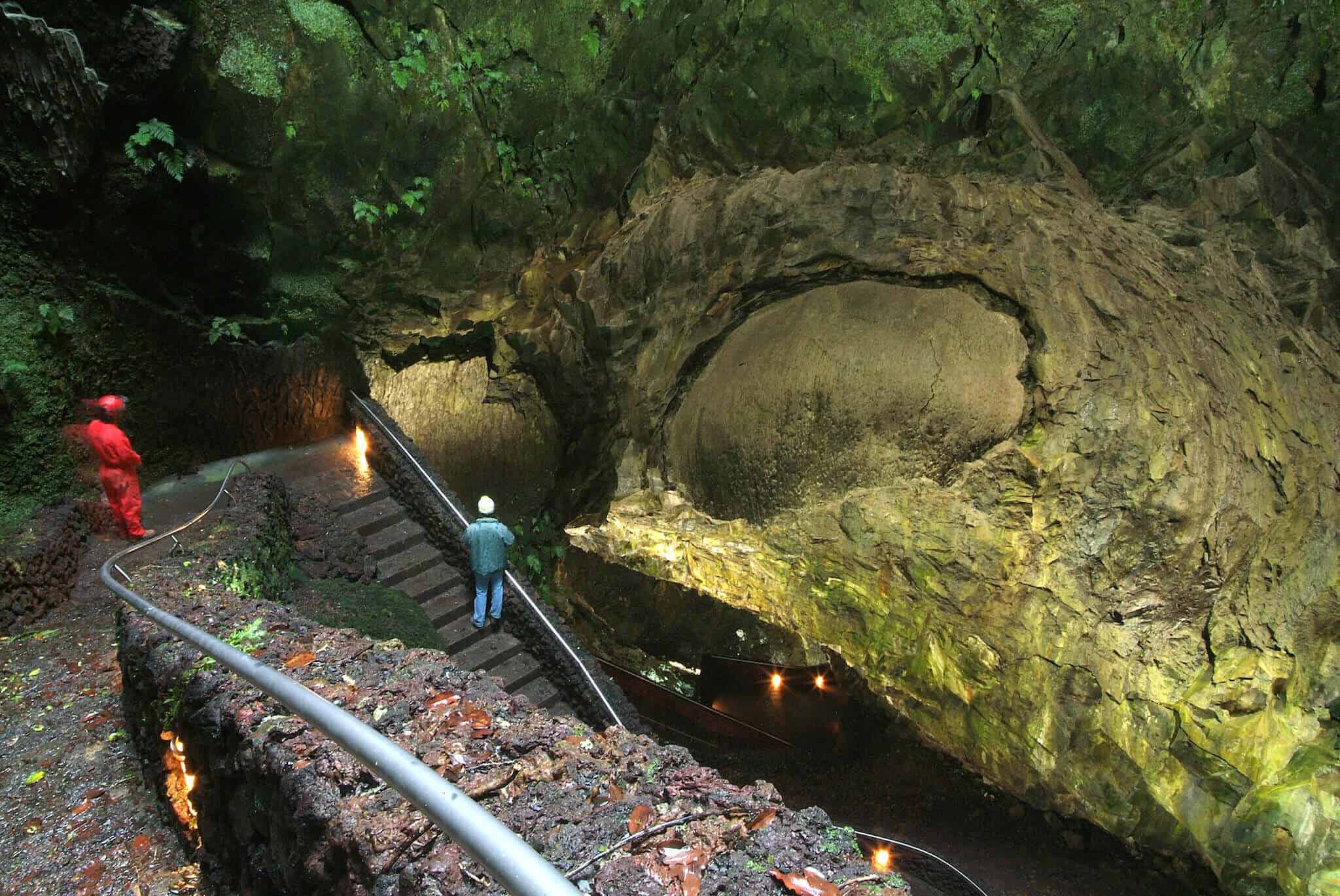
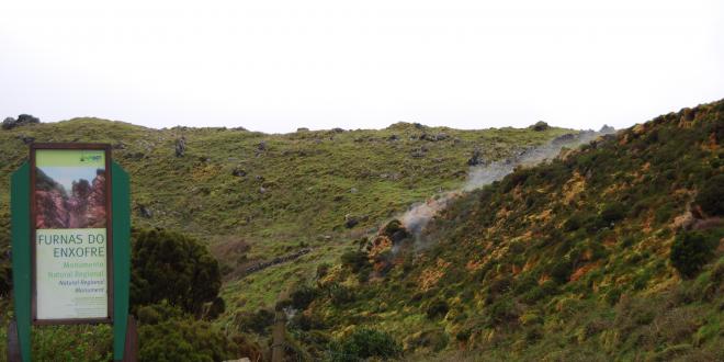
The Algar do Carvao is a volcanic cave that’s merely two thousand years old. This route starts and finishes at the tunnels and it’s well worth taking time to visit after your walk (allow 1-2 hours). The caves are open in the afternoon of most days in the summer. The walk itself tours the wild centre of the island, with a side visit to the steaming fumaroles of Furnas do Enxofre.
Footpath app route with live tracking
Download a printable Azores Trails guide
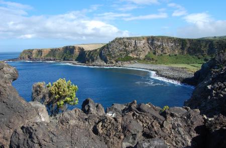
Baías da Agualva – Terceira PR02 TER
Linear // 3.8 km // Medium
The walk leaves the round-island N1 road and heads for the north coast for spectacular cliff scenery. Keen bird watchers will enjoy Baía das Pombas where you may see the Common Tern, Rock Doves and the Azorean Wood Pigeon. This linear walk can be made circular by walking about 1.3 km along the road back to your car. Or turn around before the route heads south back to the road, retracing your steps.
Footpath app route with live tracking
Download a printable Azores Trails guide
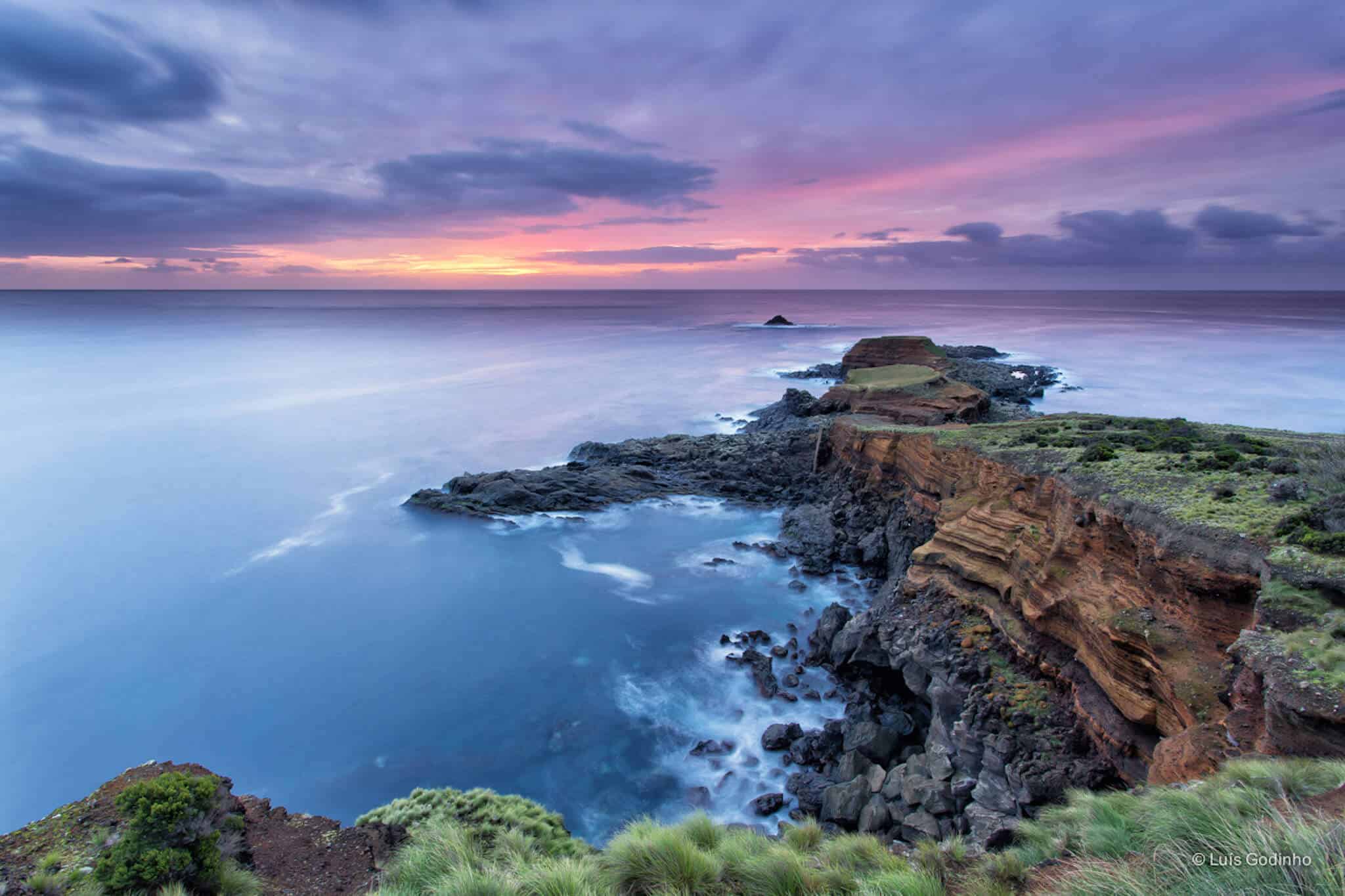
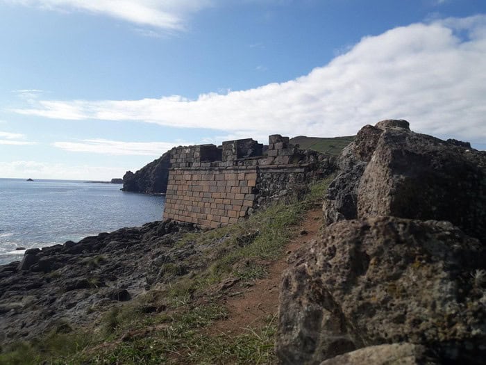
Fortes de São Sebastião – Terceira PR05TER
Linear // 5.7 km // Medium
This route follows the south east coast of Terceira, passing the remains of ancient maritime defensive forts from the 16th – 17th century, Forte de Santa Catarina das Mós and Forte do Pesqueiro dos Meninos. The forts were constructed to protect the island from pirates – the French corsair Pierre Bertrand de Montluc attacked Funchal on Madeira in 1566 and then tried the same with Angra do Heroismo on Terceira. The route climbs from the coast to end in the village of São Sebastião where you can seek a taxi or retrace your steps.
Footpath app route with live tracking
Download a printable Azores Trails guide
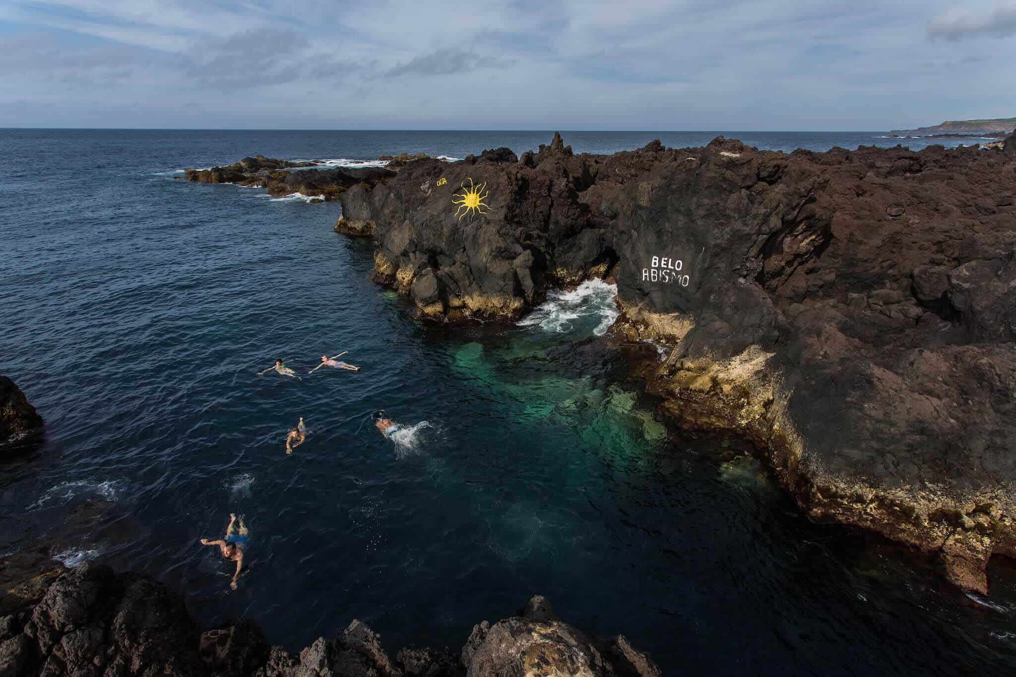
Malha Grande – Biscoitos – Terceira PR09 TER
Linear // 14.2 km // Medium
Perhaps best arranged via taxi transfers, this excellent route descends from the central highlands through Terceira’s volcanic scenery to the northern village and sea pools at Biscoitos. After an initial climb of about 200m from the road to the viewpoint over the Roca do Chambre caldera, it’s a gradual and near-continuous descent to the coast through Terceira’s forests and fields. Finish at Biscoitos where there are cafes – and of course perhaps the best sea pools in the Azores.
Footpath app route with live tracking
Download a printable Azores Trails guide
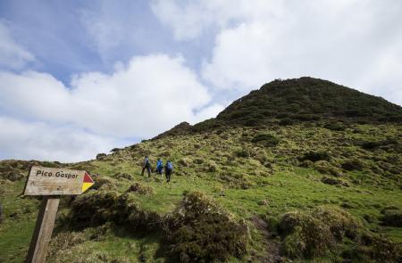
Mistérios Negros – Terceira PRC01 TER
Circular // 4.9 km // Hard
This short but tough walk is within the Natural Reserve of Serra de Santa Bárbara and Mistérios Negros. The Mistérios Negros (Black Mysteries) are so-called because the eruption that formed them was witnessed by early Portuguese settlers – who had not seen volcanic activity before. The mysterious fire and heat created a landscape of black lava, now becoming increasingly covered by vegetation as nature’s succession takes over. If you are interested in volcanic geology then it’s worth taking this walk accompanied by one of our guides, who will bring the landscape alive for you.
Footpath app route with live tracking
Download a printable Azores Trails guide
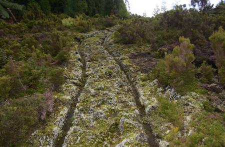
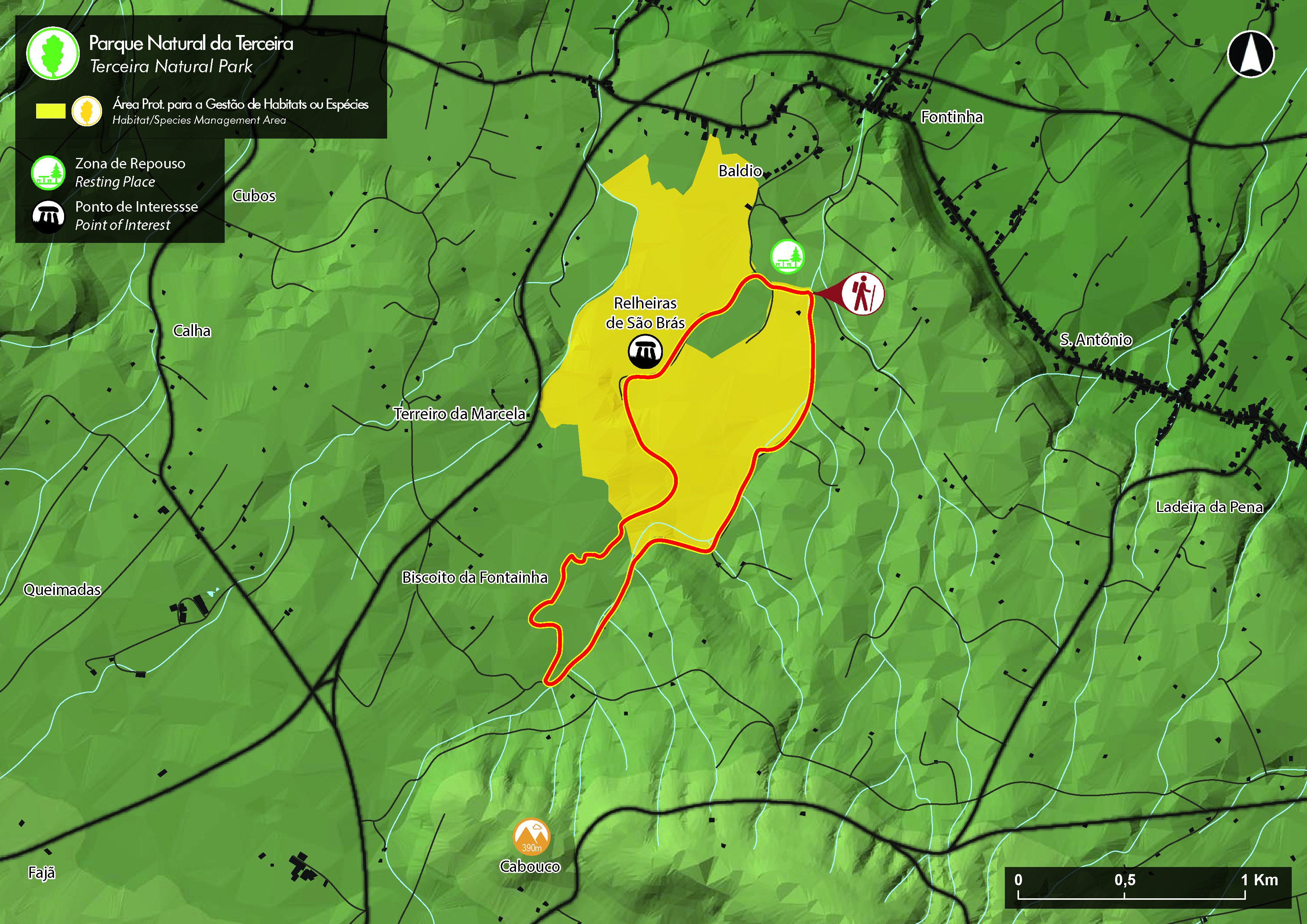
Relheiras de São Brás – Terceira PRC8 TER
Circular // 5 km // Easy
A short and easy loop walk exploring the fields and forests of the landscape in the north-east interior of Terceira. Follow the trackways created by the passage of ox-cart wheels – the Relheiras that lend the walk their name.
Footpath app route with live tracking
Download a printable Azores Trails guide
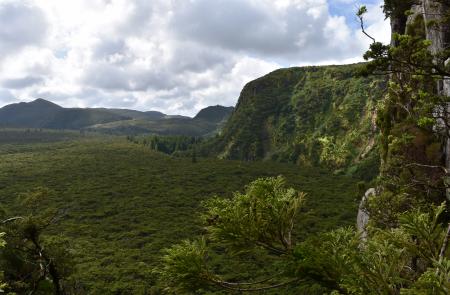
Rocha do Chambre – Terceira PRC06 TER
Circular // 8.8 km // Medium
This rightly popular walk is best saved for days when the interior is clear of cloud cover. You’ll climb through the central highlands to the viewpoint at Juncal overlooking the Rocha do Chambre – the view into the steep sided volcanic bowl is definitely worth saving for a good day. The path continues along the edge of the bowl and then descends back to your car. The route is easy enough to follow, but you will get much more out of your day if accompanied by a guide as they will explain the volcanic scenery and talk with you about the plant and animal life of the central highlands.
Footpath app route with live tracking
Download a printable Azores Trails guide
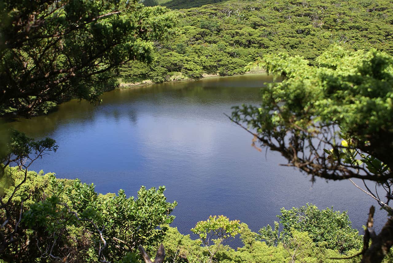
Serreta – Terceira PRC03 TER
Circular // 6.8 km // Medium
On the western flanks of the protected caldera of Santa Barbara, this lovely loop walk climbs through the verdant forests to reach the secluded crater lake of Lagoinha. The return journey is more open – with views across the landscape to the coast – as you descend fields and some forest back to your car.
Footpath app route with live tracking
Download a printable Azores Trails guide
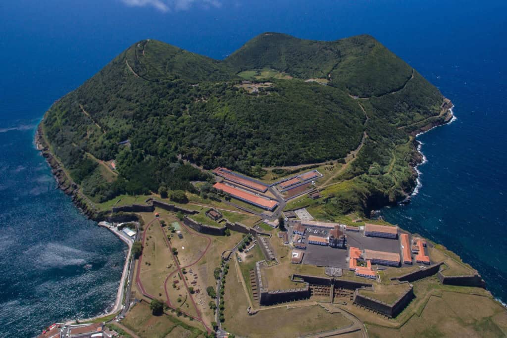
Monte Brasil – Terceira PRC04 TER
Circular // 7.4 km // Medium
If you’re staying in Angra then Monte Brasil will definitely have drawn your eye as it’s volcanic cone overlooks Angra and commands the bay. This walk ascends from town, winding it’s way up to the summit viewpoint and exploring the rim of the volcanic bowl. Beware – there’s a surprising amount of climbing and descent for a route so close to a city centre.
Footpath app route with live tracking
Download a printable Azores Trails guide
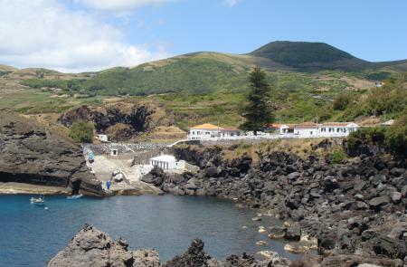
Baia da Folga – Graciosa PR03 GRA
Linear // 2.1 km // Easy
A short and scenic route from the village of Luz to the rocky shores of Baia da Folga. Perhaps plan your visit around a meal at the restaurant Estrela do Mar, overlooking the ocean at Baia da Folga.
Footpath app route with live tracking
Download a printable Azores Trails guide
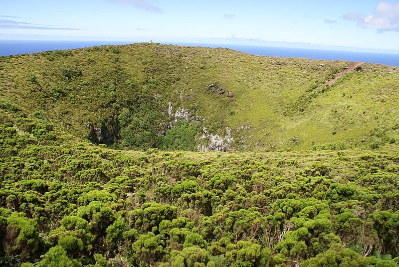
Serra Branca – Praia – Graciosa PR01 GRA
Linear // 8.7 km // Easy
Start with a taxi transfer from Praia, as this linear route crosses the island from Pico da Caldeirinha back to the town and ocean. The path tours the picturesque volcanic cone of Pico da Caldeirinha before crossing the island, through pastures, fields and woods back to Porto da Praia.
Footpath app route with live tracking
Download a printable Azores Trails guide
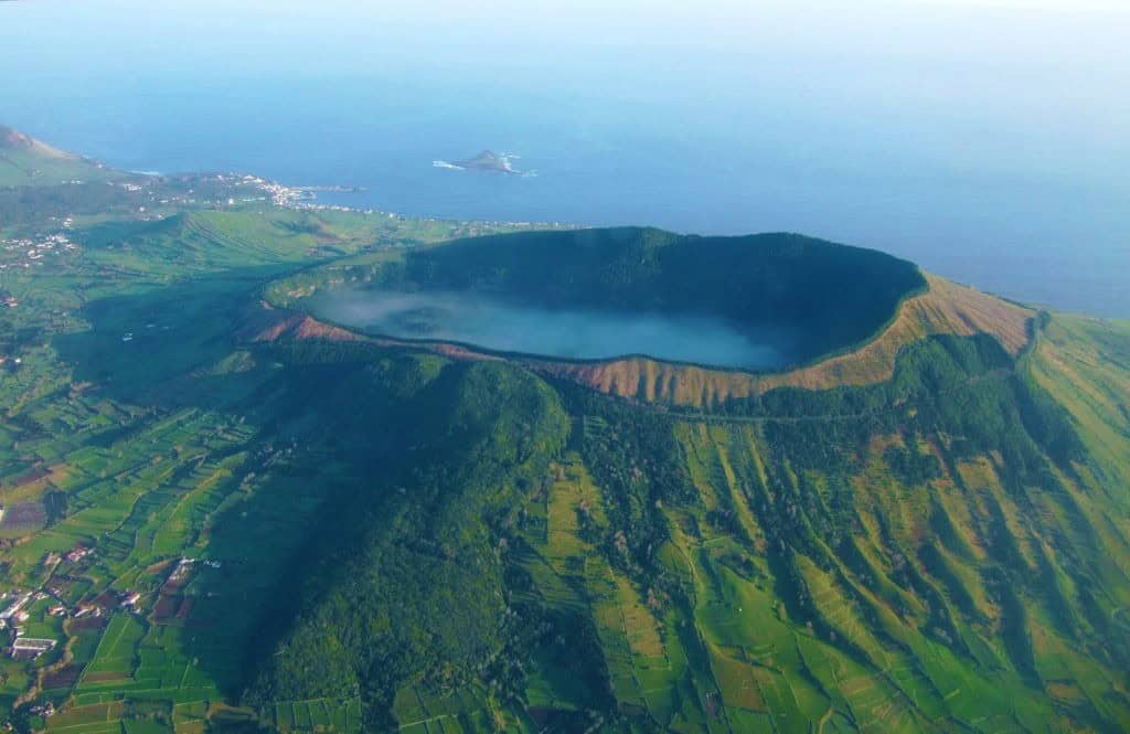
Volta à Caldeira – Furna do Enxofre – Graciosa PRC02 GRA
Circular // 10.8 km // Easy
The caldera of Furna do Enxofre is the jewel in Graciosa’s crown. Here you simply must visit the volcanic tunnels of Furnas do Enxofre, by far the most impressive in all of the Azores – in fact it’s the largest volcanic cave in Europe. This circular walking route tours the outside of the caldera rim, with views in every direction throughout the route, then descends into the crater where you’ll find the visitor centre and caves.
Footpath app route with live tracking
Download a printable Azores Trails guide
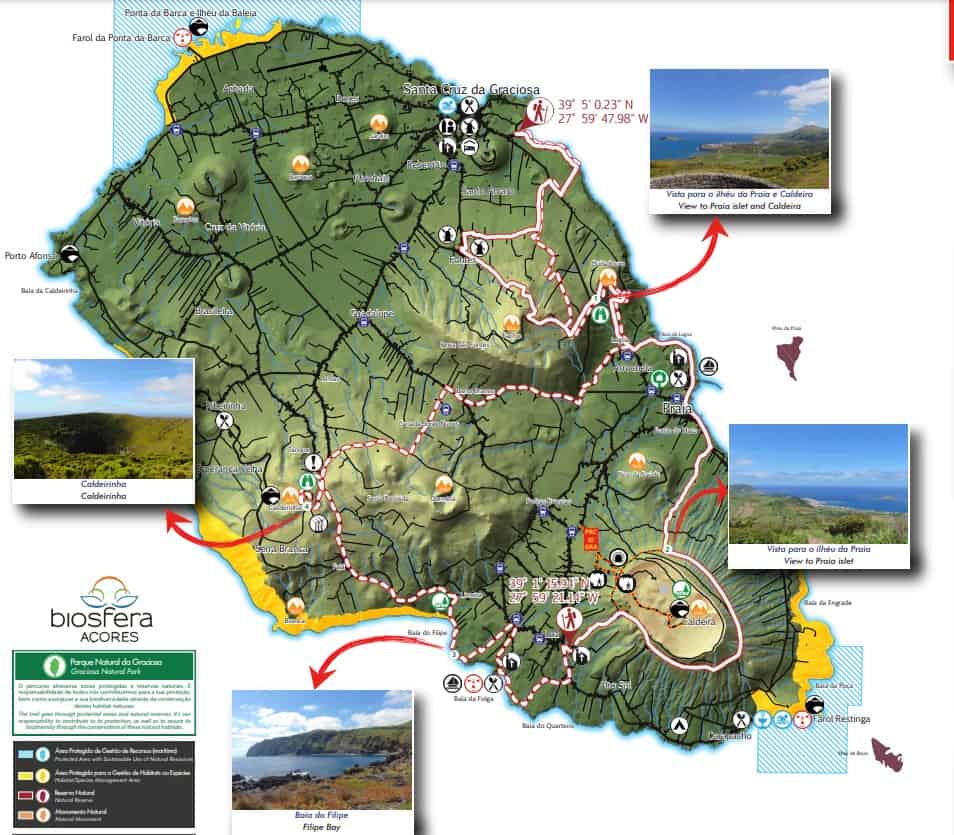
Great Route of Graciosa
Circluar // 40 km // Medium-to-hard
For the physically fit walker, the Great Route of Graciosa is a perfect way to explore the island over two 20km days. Starting in Santa Cruz, the walk takes you up the Serra da Fontes hills (about 300m in altitude) before you tour the east coast to Praia. From here you’ll head for the Furna do Enxofre caldera, circumnavigating the eastern side and descending to the pretty town of Luz. If you’re travelling with us then here’s where your transfer will meet you.
For day 2, transfer back to Luz and continue to the western coast. You’ll head for the Pico da Caldeirinha and join the PR01 route, re-crossing Graciosa towards Praia. The final leg to Santa Cruz stays lower on the slopes of Serra da Fontes and you’ll rejoin your outbound route back to town and a well deserved drink!
Footpath app route with live tracking
Download a printable Azores Trails guide
Archipelago Choice – the Azores Specialists
We specialise in tailor-made holidays to the nine islands of the Azores. Our experienced team of specialists are ready to put together your personalised trip; just give them a call on 017687 721020.








Follow us online