Azores Walking Guides – Sao Miguel
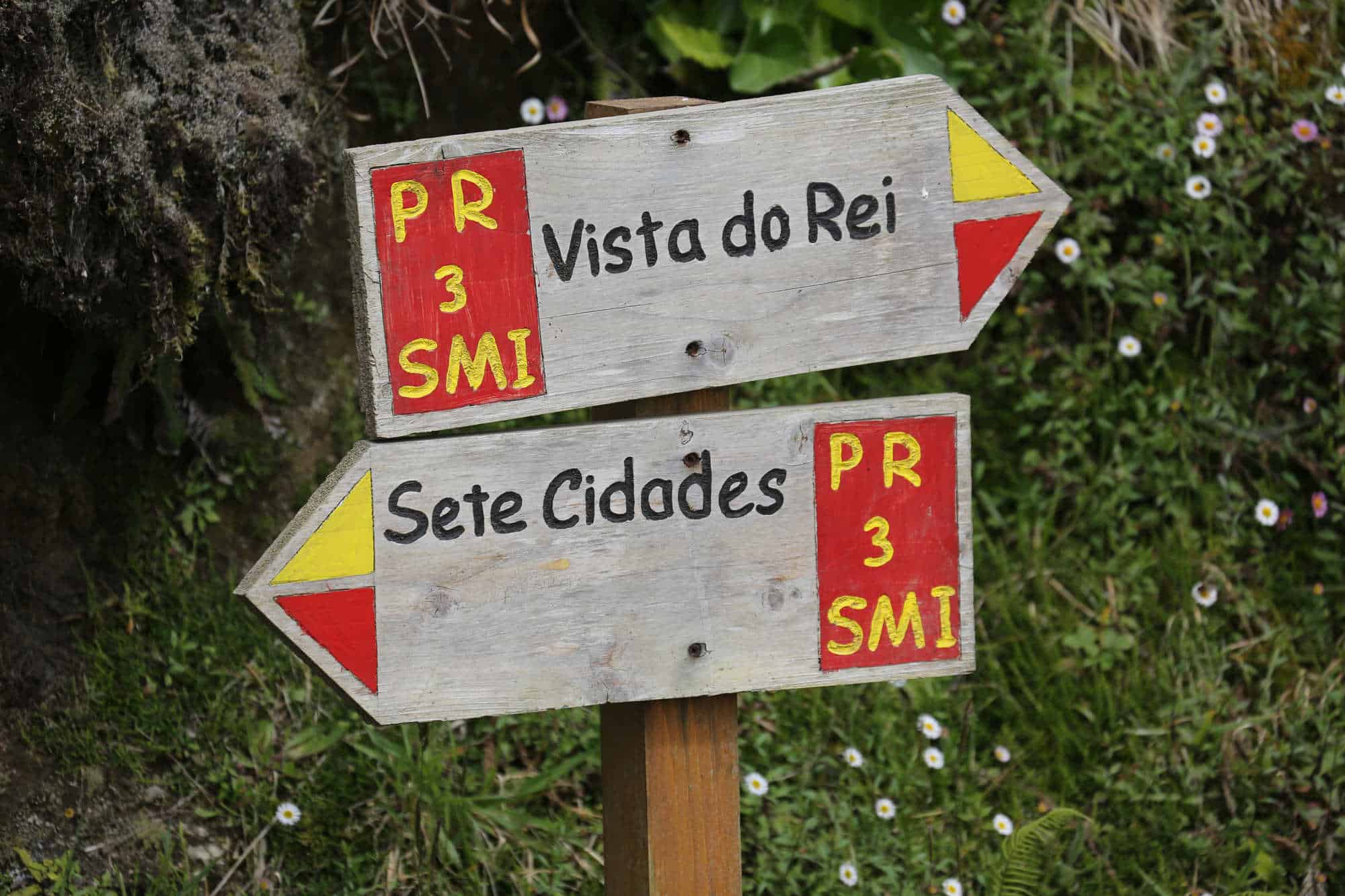
Sao Miguel is one of the more-obviously volcanic islands in the Azores. To east is the Furnas valley: one of the island’s oldest calderas and home to the Azores’ most-famous hot springs and geothermal swimming pools. The hot earth and giddy-mix of aromas from the wild aloe, ancient cedars and the bubbling aquifers give Furnas a semi-tropical feel.
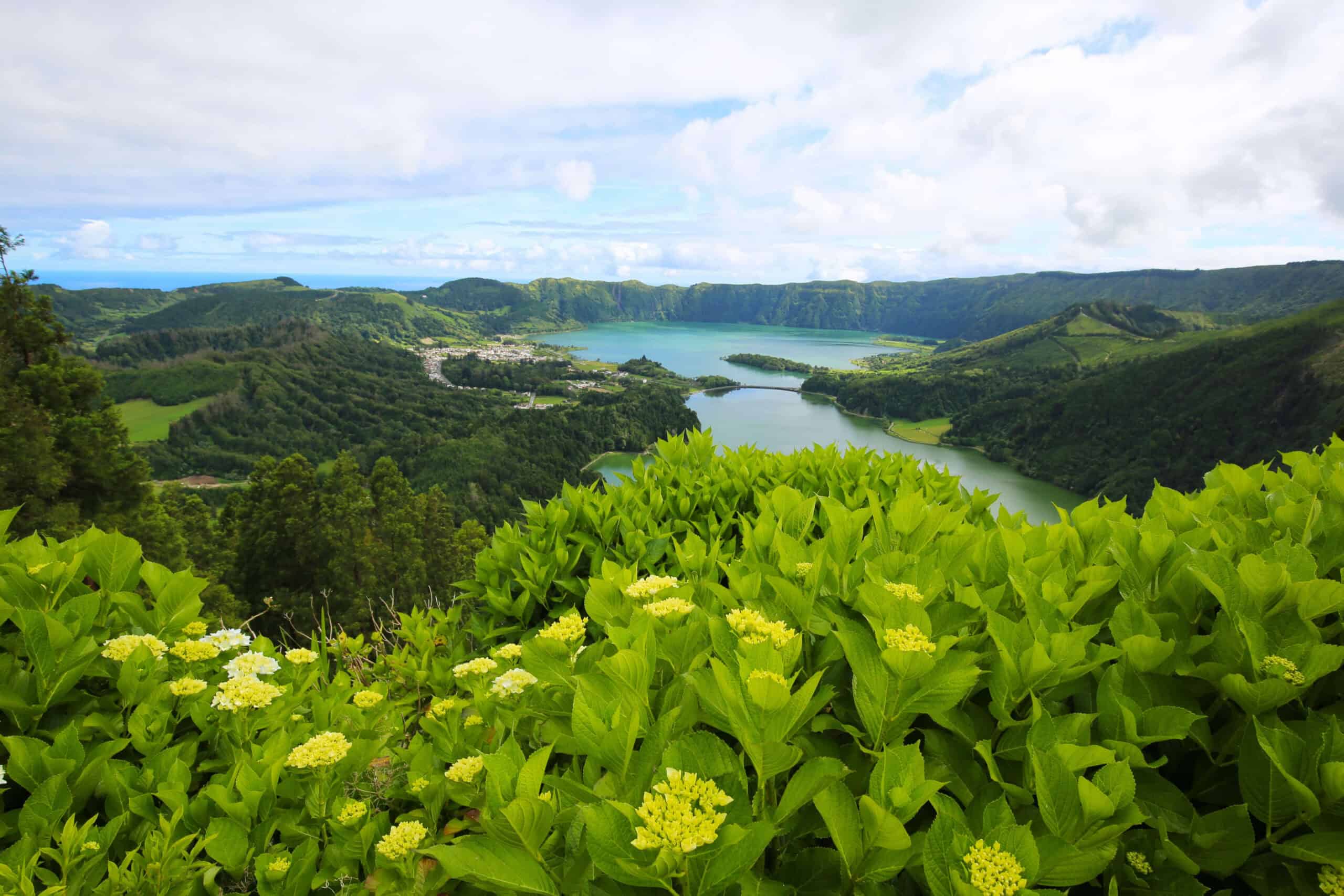
To the west is the island’s largest caldera Sete Cidades – a must-see destination for most visitors to Sao Miguel for it’s extraordinary beauty. This vast 5km volcanic crater and it’s majestic views has been attracting walkers for decades. In between: the Agua de Pau mountain range – Pico da Barrosa is one of the highest points on the island at 947m, popular for it’s birdseye view of Lagoa do Fogo: the ‘Lake of Fire’ which sits in the youngest of the island’s calderas.
With the assistance of our friends at the Associacao de Turismo dos Acores, we’ve put together online Azores walking guides and route maps for our favourite routes across Sao Miguel:
Vista do Rei – Sete Cidades – PR03 SMI
Linear // 8km // Easy (with a relatively steep and loose descent to Sete Cidades)
The great crater of Sete Cidades is easily the most recognised in the Azores. This route explores the western rim, starting from the Vista do Rei (King’s View) and circumnavigating anti clockwise until you drop into the crater and village itself.
Footpath app route with live tracking
Download a printable Azores Trails guide
Mata do Canario – Sete Cidades – PR04 SMI
Linear // 12.1km // Easy to moderate (with a relatively steep and loose descent to and climb from Sete Cidades)
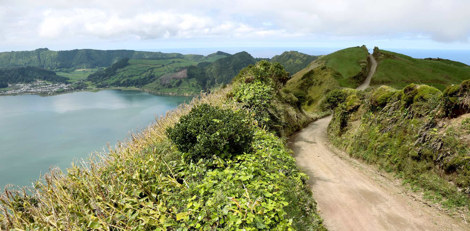
The rim of the Great Crater has a dirt track following both the western and the eastern sides. This walk follows the eastern rim, summiting Pico da Cruz at some 840m before swinging anticlockwise around the steep northern rim (no exposure but fantastic views!) to join the dirt track descent to Sete Cidades. If you’ve arranged a taxi transfer with us then the driver will meet you in town after your walk.
Footpath app route with live tracking
Download a printable Azores Trails guide
Pico das Mamarinhas – Ponta da Ferraria – PRC43 SMI
Circular // 5km // Easy
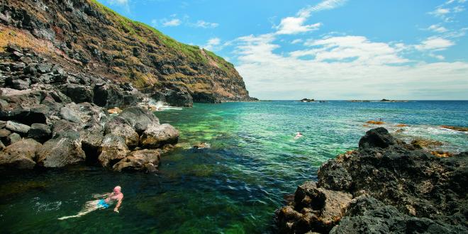
This is an easy walk on the western tip of Sao Miguel, exploring the fascinating volcanic landscape of Ferraria – with it’s hot spring that exits into a sea pool. Plan your visit for low tide if you’re keen to get in the pool as this is when it’s hottest!
Footpath app route with live tracking
Download a printable Azores Trails guide
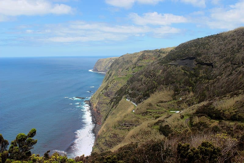
Atalho dos Vermelhos – PRC33 SMI
Circular // 5.4km // Easy
This circular route explores the landscape just north and west of Mosteiros on the westernmost tip of Sao Miguel.
Footpath app route with live tracking
Download a printable Azores Trails guide
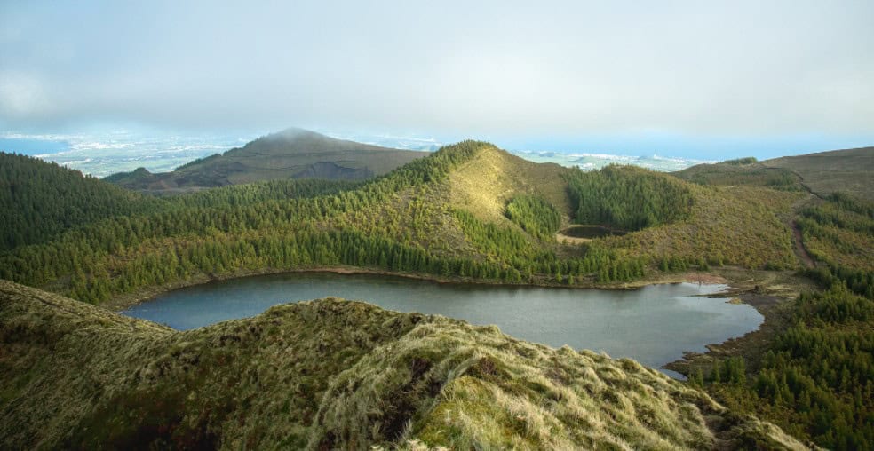
Serra Devassa – PRC05 SMI
Circular // 4.8km // Easy
An exploration of the protected area of Serra Devassa, in the highlands to the southeast of Sete Cidades. Although short, this route is all at altitude, from 750m to 880m – take a raincoat and a jumper!
Footpath app route with live tracking
Download a printable Azores Trails guide
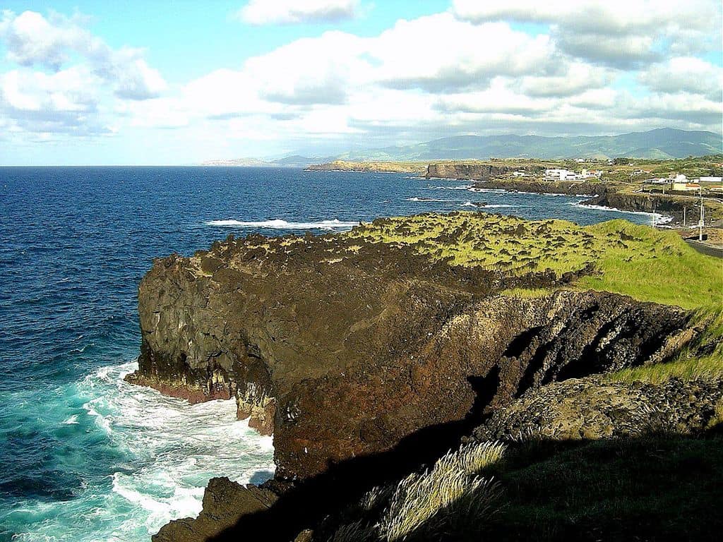
Vigia de Sao Pedro – PR01 SMI
Linear // 6.5km // Easy
This coastal trail follows the low cliffs of the rocky-shored North Coast. The Visit Azores direction is west to east but we prefer organising the transfers so you walk east to west – finishing at the natural pools and café/bar of Bar das Pocos on the outskirts of Capelas. Or of course you could start and finish at the bar and walk the route twice!
Footpath app route with live tracking
Download a printable Azores Trails guide
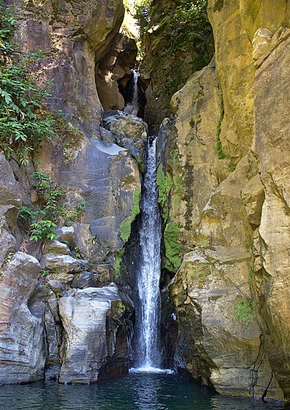
Caldeiras da Ribeira Grande – Salto do Cabrito – PRC29 SMI
Circular // 8.5km // Medium
Starting from the hot spings of the Caldeiras De Ribeira Grande, this walk explores the northern flanks of the Lagoa do Fogo caldera. En route you’ll see the spectacular Salto do Cabrito waterfall.
Footpath app route with live tracking
Download a printable Azores Trails guide
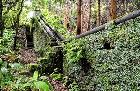
Rota da Água, entre Túneis e Condutas – PR 42 SMI
Linear // 15Km // Medium
On the southern slopes of the Fogo volcano, this linear walk takes you from Remédios to of Água do Pau along old paths and levadas. You’ll encounter unlit tunnels, unprotected edges and narrow bridges so take a torch and mind yourself!
Footpath app route with live tracking
Download a printable Azores Trails guide
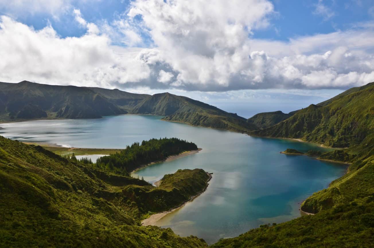
Praia – Lagoa do Fogo – São Miguel – PRC02 SMI
Circular // 10.9Km // Medium
This walking route takes you up into the Fogo caldera, reaching the lake shore before you turn around and retrace your steps. We’ve made our own version if you’d rather take a different route back – see our next route for details.
Footpath app route with live tracking
Download a printable Azores Trails guide
Archipelago Choice Lagoa do Fogo walk suggestion
Circular // 14.9Km // Medium
Our variation suggestion for the Lagoa do Fogo walk starts and finishes at the beach! Follow the PRC02 route until you meet the Fogo crater lake and then follow the shore for a while, before descending a valley track to loop back to the start.
Footpath app route with live tracking
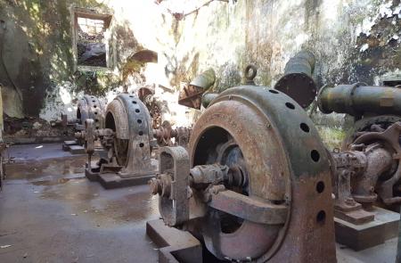
Quatro fábricas da Luz – São Miguel – PR39 SMI
Linear // 2.1Km // Easy
The Quatro fábricas da Luz trail is an easy extension which combines well with either the Rota da Agua trail or Lagoa do Fogo. The trail takes you from Agua de Alto to the remains of a hydro-electric power plant which once powered parts of the capital Ponta Delgada from 1904 to 1974.
Footpath app route with live tracking
Download a printable Azores Trails guide
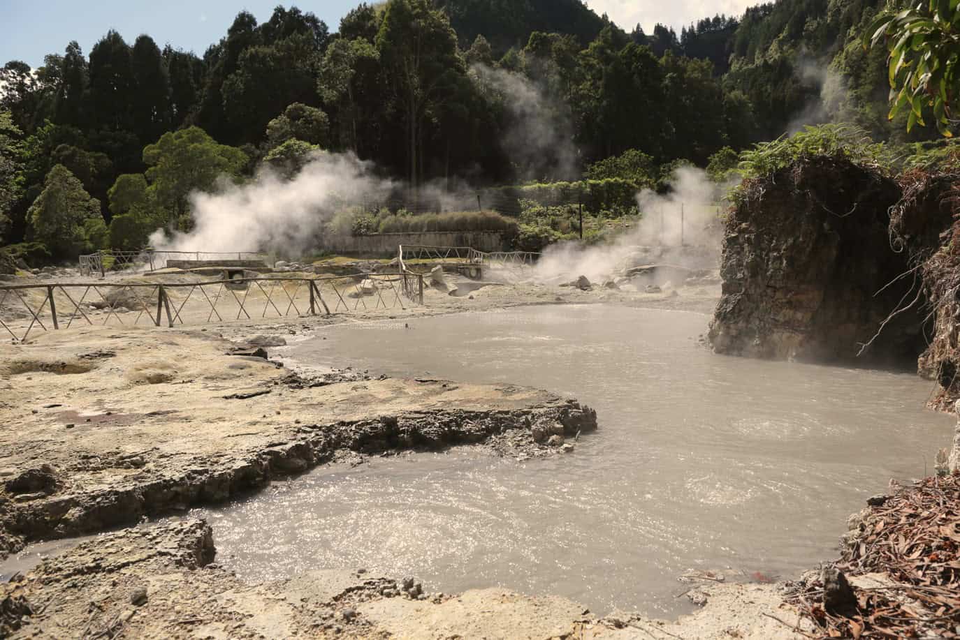
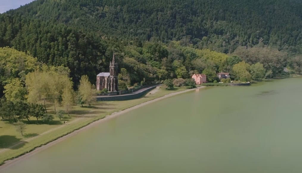
Lagoa das Furnas – São Miguel PRC06 SMI
Circular // 9.5km // Easy
This trail starts in the spa town and caldera of Furnas, taking you up to and around the pretty crater lake itself. You’ll pass the fumarolic fields where the local dish ‘Cozido’ is cooked, buried in the hot earth in clay pots to slow-cook for several hours.
We’ve made our own variation of this walk depending on what hotel you’re staying in – see below.
Footpath app route with live tracking
Download a printable Azores Trails guide
Archipelago Choice – Furnas walk from Terra Nostra or Furnas Boutique Hotel
This popular walk, with a variation start, from the Terra Nostra Garden Hotel in Furnas.
Footpath app route with live tracking – from the Terra Nostra Hotel
Footpath app route with live tracking – from the Furnas Boutique Hotel
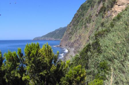
Agrião – São Miguel PR12SMI
Linear // 7.6Km // Medium
This coastal way links the towns of Ribeira Quente and Povoacao. We think it’s best walking west to east but let us know what you think – this way you end in Povoacao where it’s easy to hail a taxi back to your car.
Footpath app route with live tracking
Download a printable Azores Trails guide
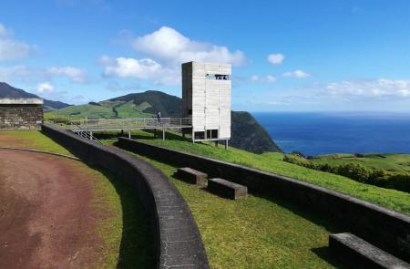
Vigia da Baleia – São Miguel PR18 SMI
Linear // 7.3Km // Medium (some steep and uneven sections)
The Vigia da Baleia is a linear route that connects the coastal towns of Povoacao and Faial da Terra. You’ll skirt the steep ground and cliffs east of Povoacao before heading to the Miradouro do Pico dos Bodes and then descend into the lush Faial da Terra valley. You’ll need to seek a taxi back to your car – or walk back the same way.
Footpath app route with live tracking
Download a printable Azores Trails guide
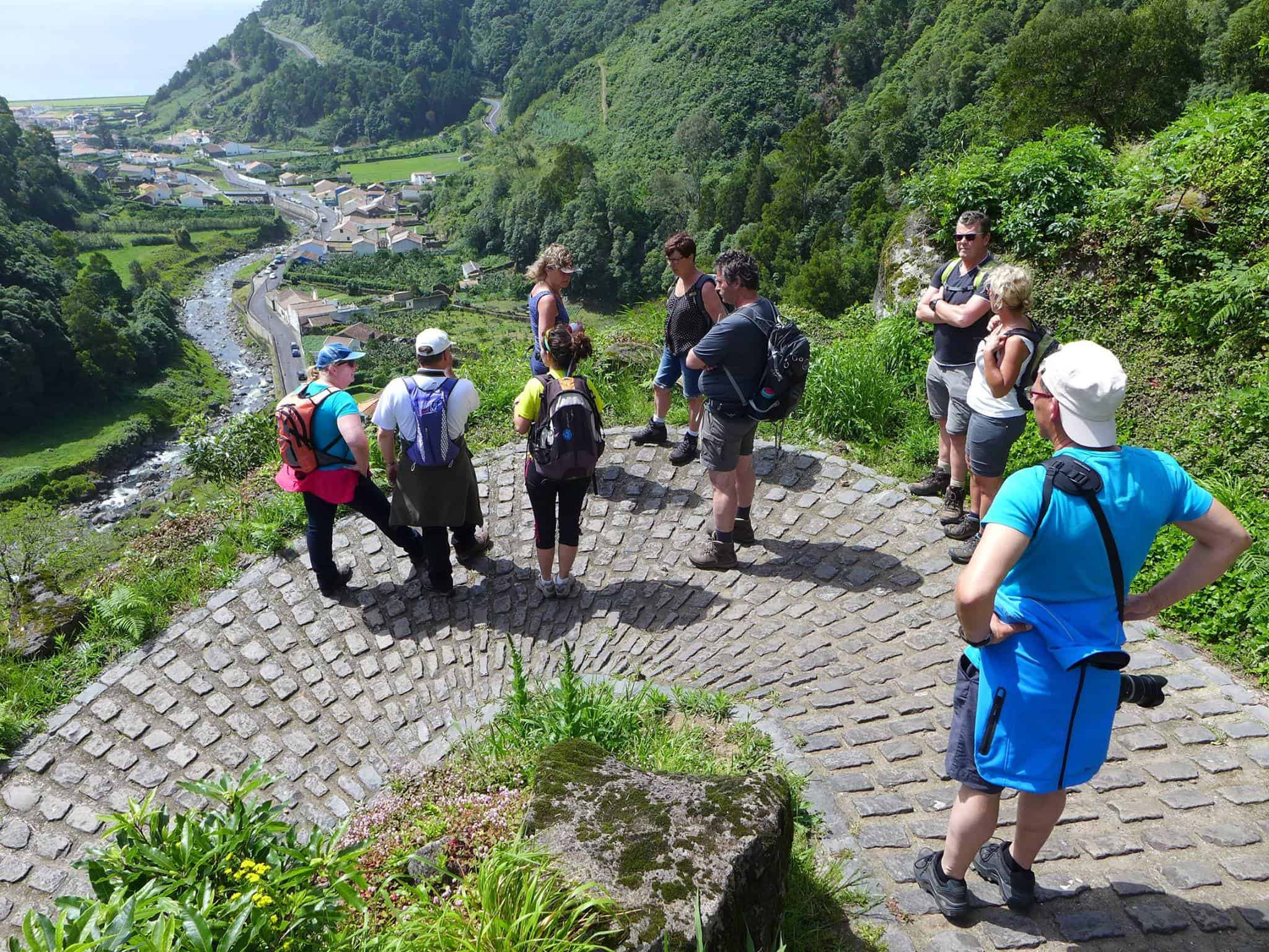
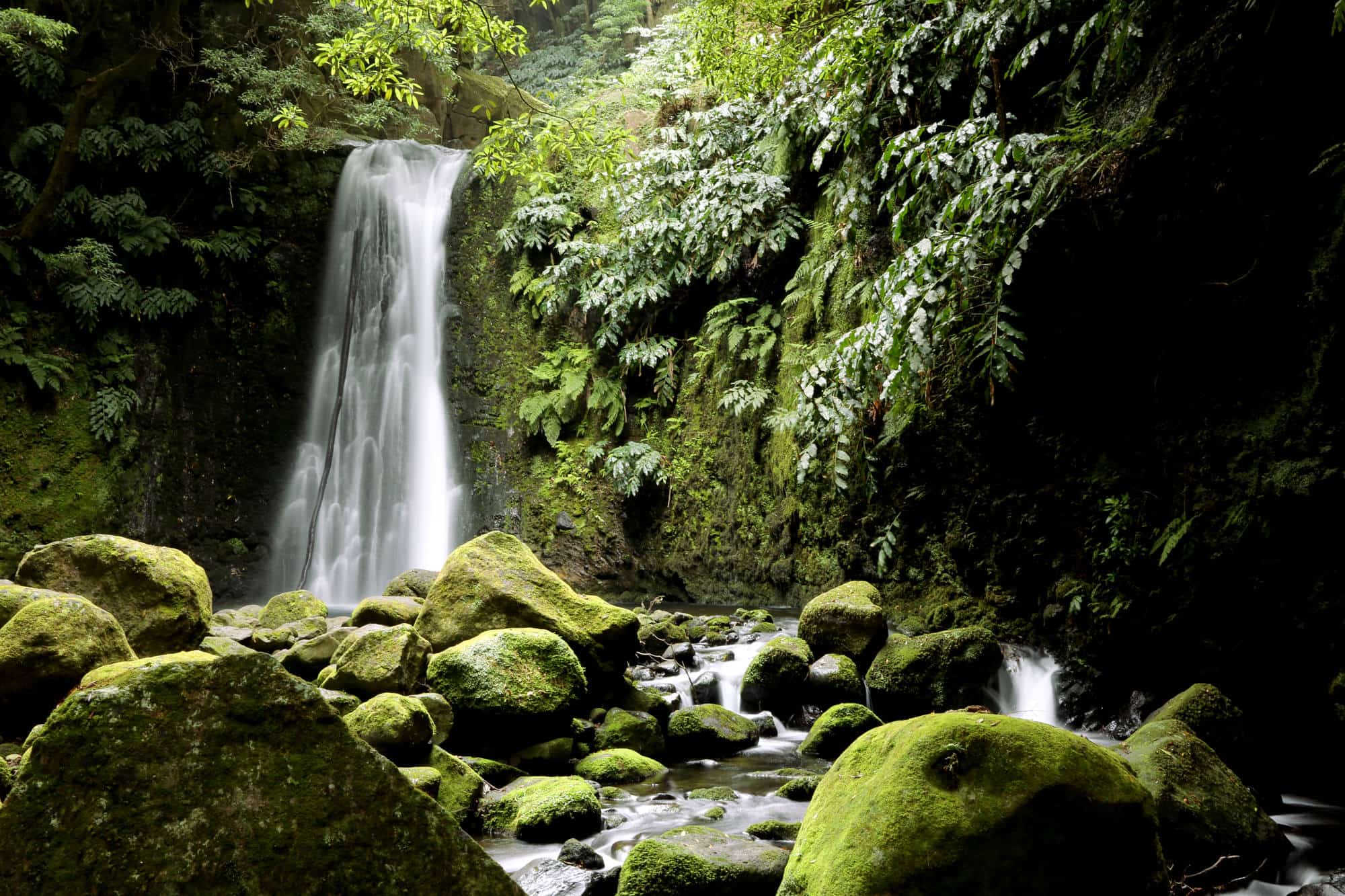
Ribeira do Faial da Terra – São Miguel PR11 SMI
Linear // 5.9Km // Medium (short but steep, uneven and slippery underfoot in places)
This is the trail that follows the river valley of the Ribeiro do Faial da Terra from where it meets the main EN-1A road to the river mouth at Faial da Terra. The dense forest and steep incut sides of the valley make this into an engaging expedition – with side trips to spectacular waterfalls. You’ll need a taxi to get back to your car – or reverse the route, of course.
If you’d like our suggestion for an amended and circular route then see below for our own version.
Footpath app route with live tracking
Download a printable Azores Trails guide
Archipelago Choice – Faial da Tera walk via Sanguinho
Circular // 5.4Km // Medium (short but steep, uneven and slippery underfoot in places)
This version of the Ribeiro do Faia da Terra walk starts and finishes in the village itself. You’ll ascend on the western side of the river valley, passing the abandoned village of Sanguinho before swinging back to the Ribeiro do Faial da Terra trail around half way along it’s length. After an optional ascent to the waterfall Salto do Prego, descend the PR11 trail along the valley to the village and your car.
Footpath app route with live tracking
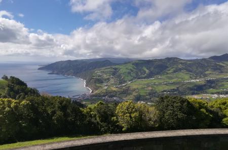
Quatro Caminhos do Faial da Terra – São Miguel PRC40 SMI
Circular // 7.5Km // Medium (some steep and uneven sections)
This trail explores the hillside west of Faial da Terra, summiting at the Miradouro do Pico dos Bodes before returning through woodland to the Ribeiro do Faial da Terra valley. If you’ve energy you could explore our extension suggestion from here (see below).
Footpath app route with live tracking
Download a printable Azores Trails guide
Extension – Quatro Caminhos into Ribeiro do Faial da Terra
Circular // 10.6Km // Medium (some steep and uneven sections)
This is our suggestion for a combination of the PRC40 walk to Miradouro do Pico dos Bodes – for views along the coast – then into the lush Ribeiro do Faial da Terra valley and the Salto do Prego waterfall. Take a packed lunch!
Footpath app route with live tracking
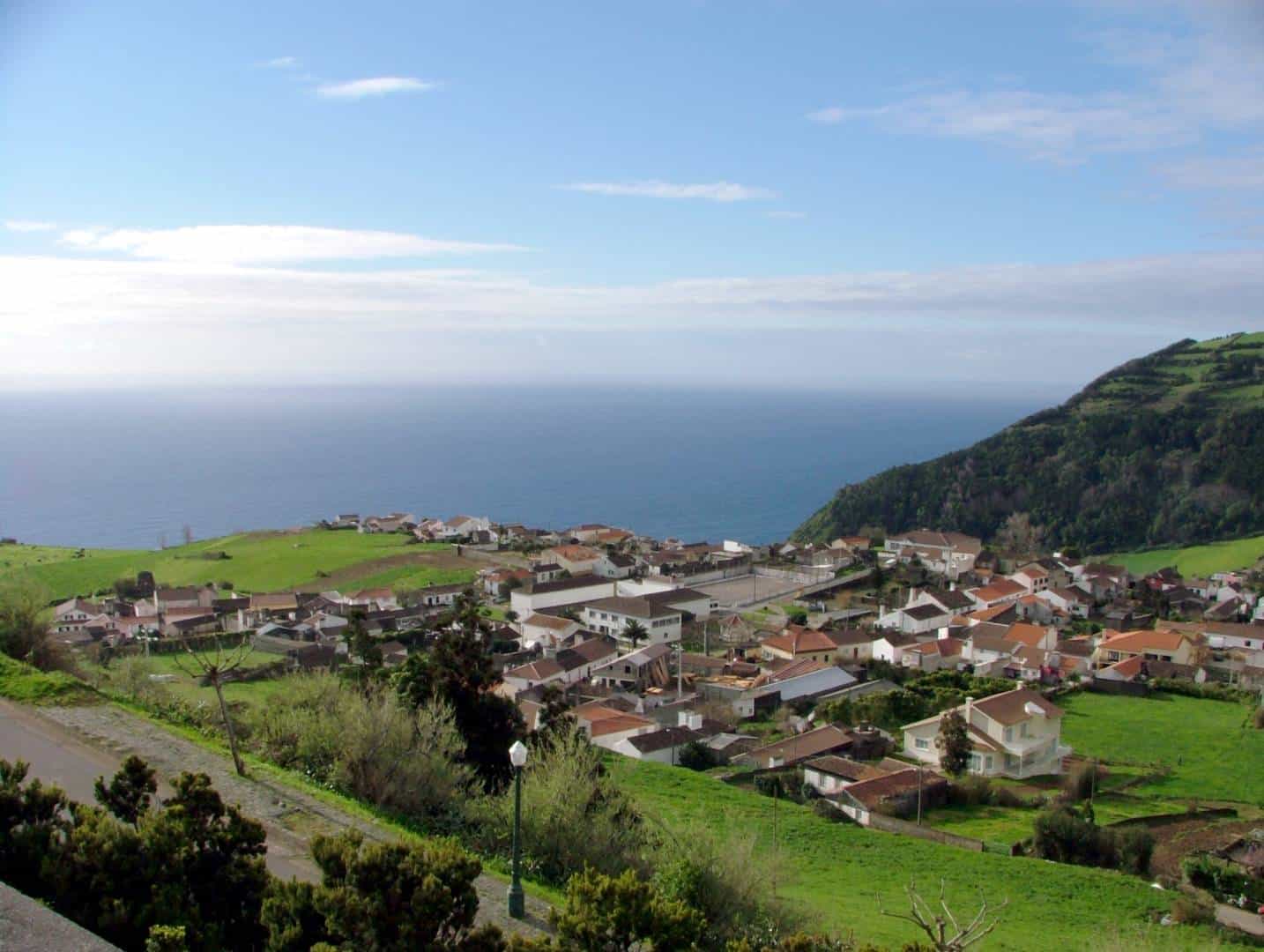
Água Retorta – São Miguel PRC 13 SMI
Circular // 4.8Km / Medium (some steep and uneven sections)
Another short walk with a bit of a bite as you explore the coastal lands of the south-east end of Sao Miguel. You’ll start and finish above the ocean, descending and reascending some 150m in the middle of the loop, as you explore the cliffs and steep ground for spectacular views.
Footpath app route with live tracking
Download a printable Azores Trails guide
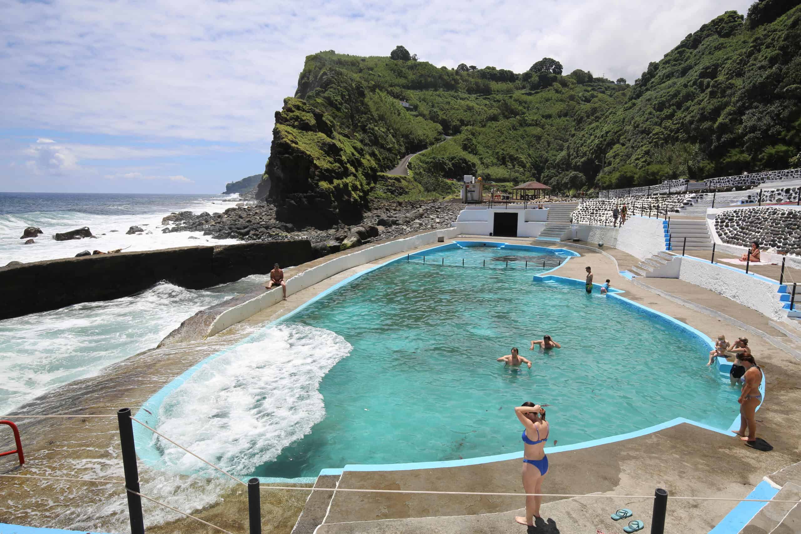
Lomba da Fazenda – São Miguel PRC31 SMI
Circular // 6Km // Medium (some steep and uneven sections)
North of the remote town of Nordeste, this beautiful and interesting loop explores the Ribeira do Guilherme river valley and the extreme north-east coastline. It’s easy to join the trail by starting in Nordeste and navigating to the Miradouro da Boca da Ribeira. Take along your swimming gear if you fancy a dip in one of Sao Miguel’s lesser-known swimming spots.
Footpath app route with live tracking
Download a printable Azores Trails guide
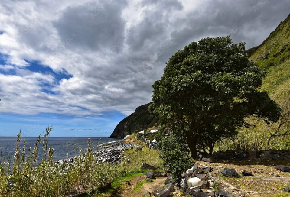
Rocha da Relva – São Miguel PRC20 SMI
Circluar // 5.5Km // Medium (steep descent and ascent)
Get away from it all on the southern coastal slopes of the Sete Cidades volcano. This walking route descends across the steep ground to the Faja – area of flat ground – secret Rocha da Relva, sited by the ocean, and otherwise hidden from view.
Footpath app route with live tracking
Download a printable Azores Trails guide
Archipelago Choice – the Azores Specialists
We specialise in tailor-made holidays to the nine islands of the Azores. Our experienced team of specialists are ready to put together your personalised trip; just give them a call on 017687 721020.









Follow us online