Azores walking guides – Santa Maria
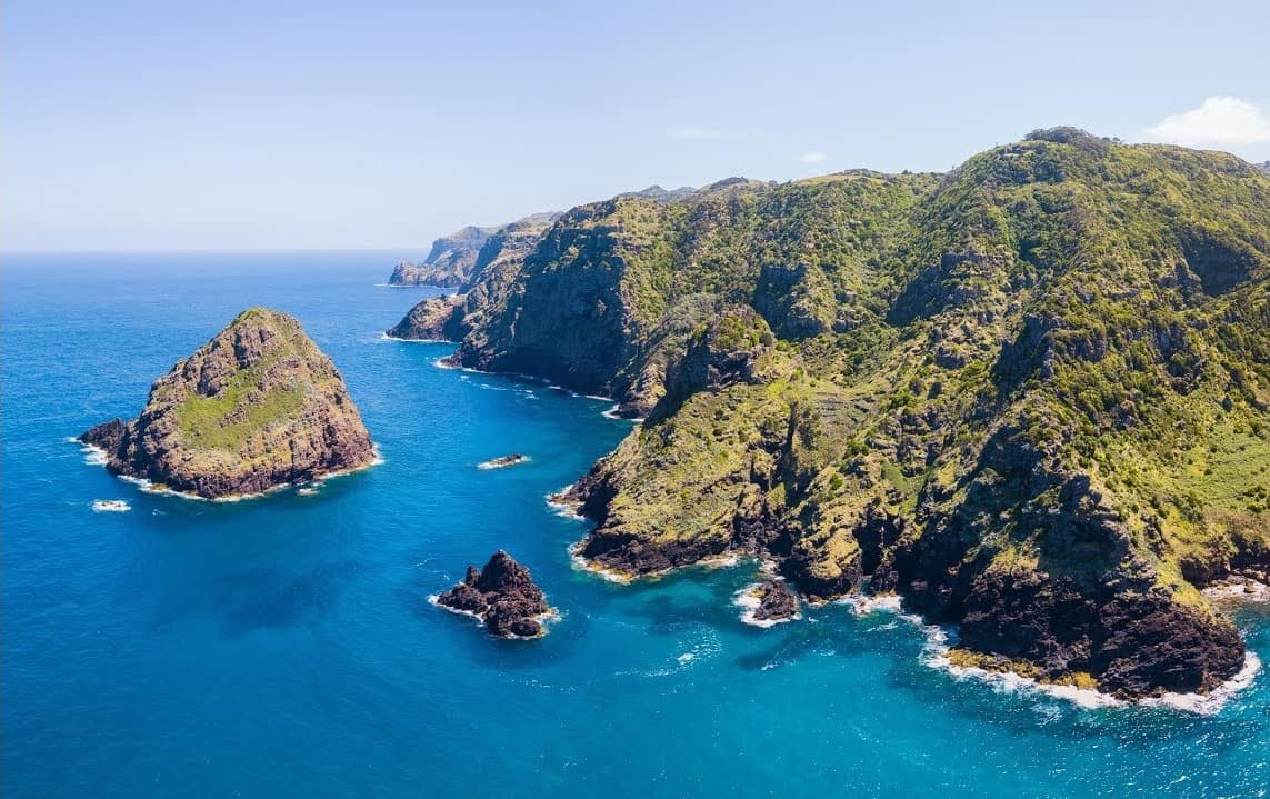
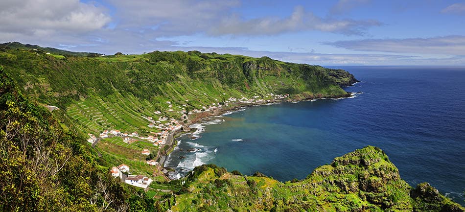
The sunny southwest island of Santa Maria is a favourite holiday destination for many Azoreans, with it’s picturesque seafront villages, sandy beaches and secluded coves. Geologically, it’s the oldest of the nine islands with a very different landscape to the younger volcanic islands like Pico or Faial. The volcanoes that first formed Santa Maria have long-since eroded into pleasantly rolling hills and dales.
Santa Maria is also home to one of the Azores’ most enjoyable walking challenges: the Grande Rota. This ‘Great Route’ began as an idea amongst five Santa Marian friends, looking to circumnavigate their island on foot. The project took wings as the local community backed the scheme, allowing both visitors and residents to enjoy the varied landscapes of this beautiful island. If the Great Route challenge grabs you, take a look at our Grand Rota holiday.
Of course, the sections of the Grand Rota make great day walks – we’ve also included some of our other favourite ‘individual’ walks on the island.
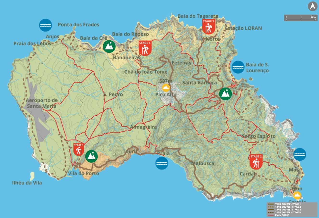
The Great Route of Santa Maria
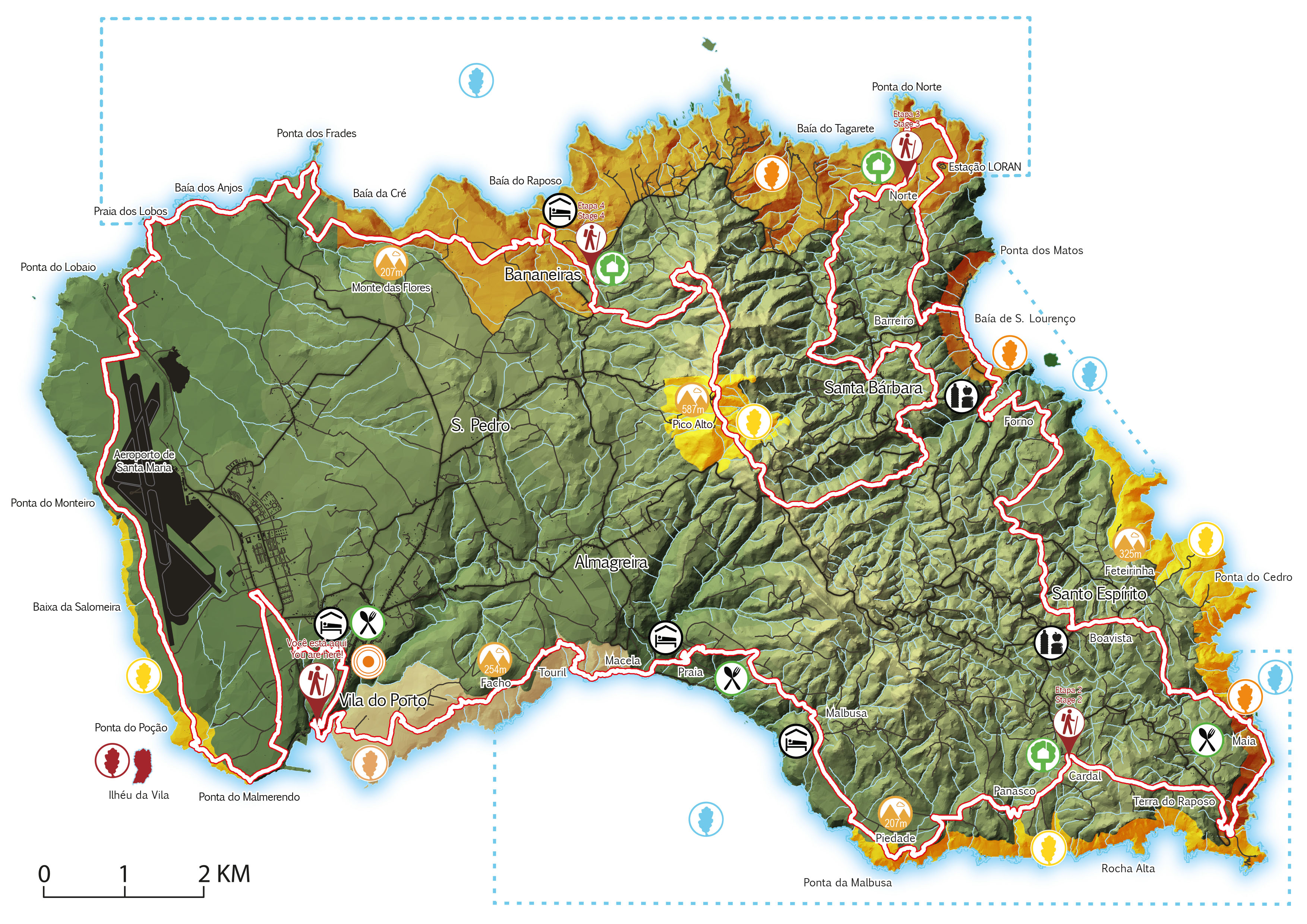
This 78km route is unique in the Azores in that it allows circumnavigation of the whole island of Santa Maria. It can be difficult to organise accommodation along the route but there is an easy solution – Santa Maria is compact and it’s easiest to base yourself in the town of Vila do Porto, and arrange transfers to the start and from the end point of each day’s walking. The route can be conveniently split into four or more days – Visit Azores suggest four and we have the GPX files here.
Full route
Circular // 78 km // Medium to Hard
Footpath app route with live tracking
Download a printable Azores Trails guide
Stage 1: Vila do Porto – Cardal
Linear // 16.2 km
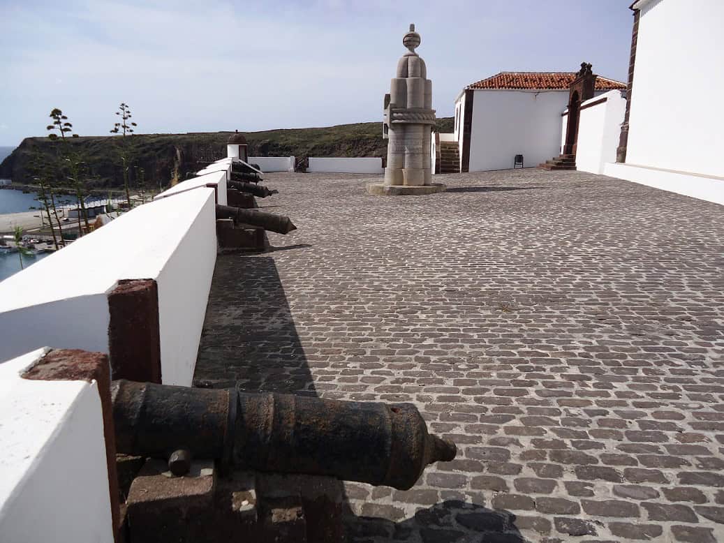
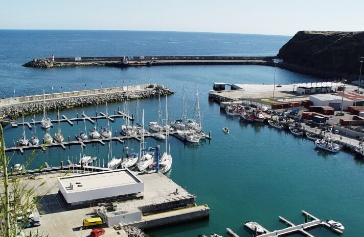
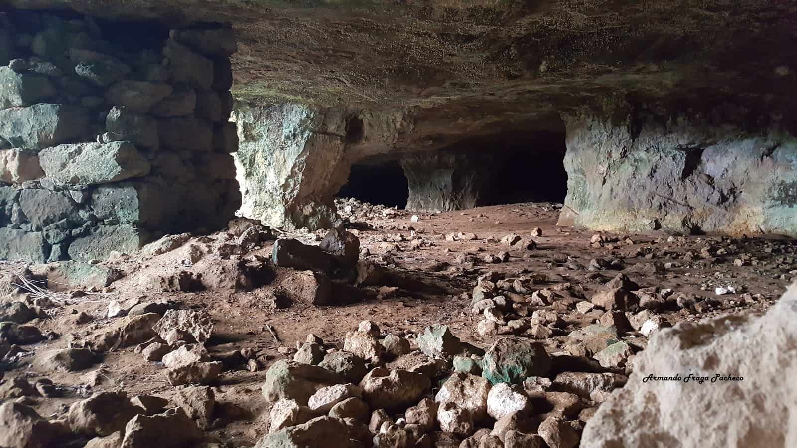
Stage one begins at the 17th Century São Brás Fort overlooking Vila do Porto Marina, and passes through the Pedreira do Campo – a protected reserve where quarrying has revealed the Azores’ only fossil deposits at Grutas do Figueiral.
Footpath app route with live tracking
Download a printable Azores Trails guide
Stage 2: Cardal – Norte
Linear // 21 km
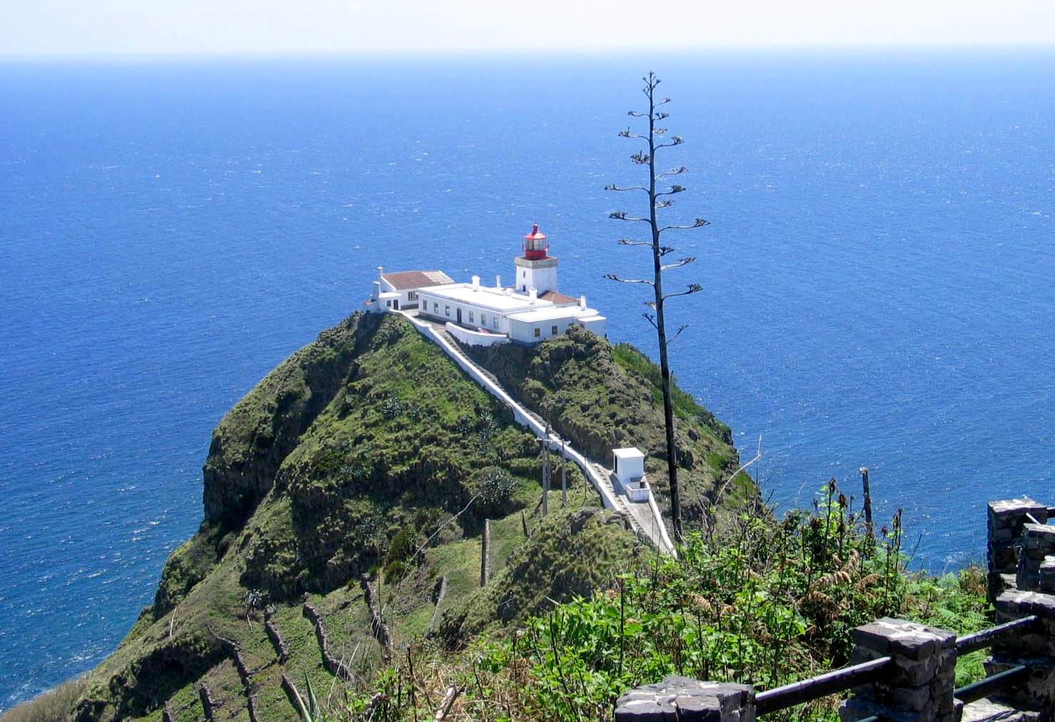
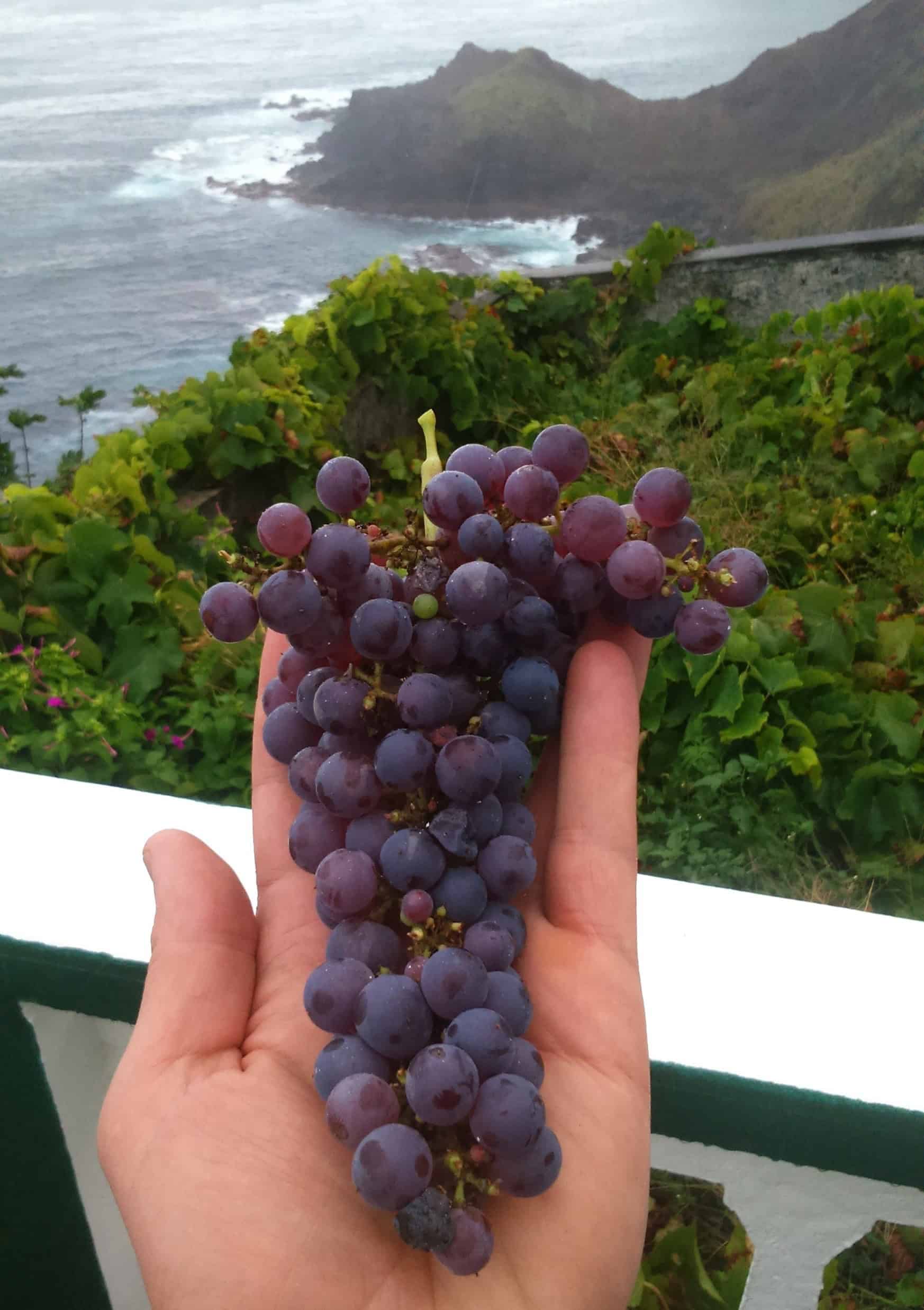
Beginning in Cardal, you’ll walk the full length of Santa Maria’s east coast, including Ponta do Castelo – once an important whale hunting vigia, it’s now a beautiful viewpoint overlooking the Goncalo Velho lighthouse. You’ll also pass through the coastal village of São Lourenço where many of Santa Maria’s famous sweet liqueurs are produced.
Footpath app route with live tracking
Download a printable Azores Trails guide
Stage 3: Norte – Bananeiras
Linear // 16.6 km
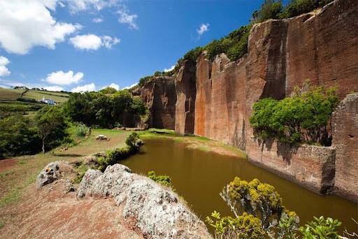
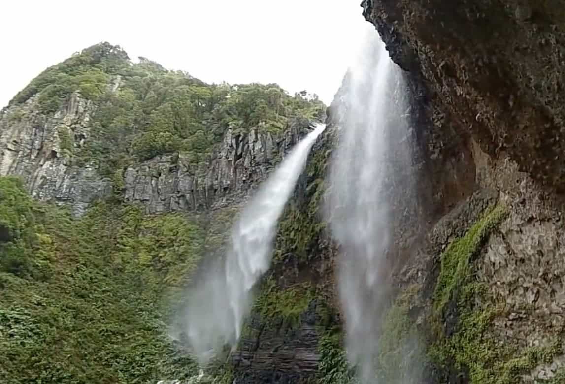
Stage three takes you inland – via the Poço da Pedreira quarry and the cascata Cai’Água twin waterfalls, up to the summit of Pico Alto: the highest point on the island at 587m.
Footpath app route with live tracking
Download a printable Azores Trails guide

Stage 4: Bananeiras – Vila do Porto
Linear // 23.9 km
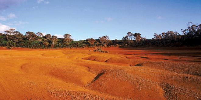
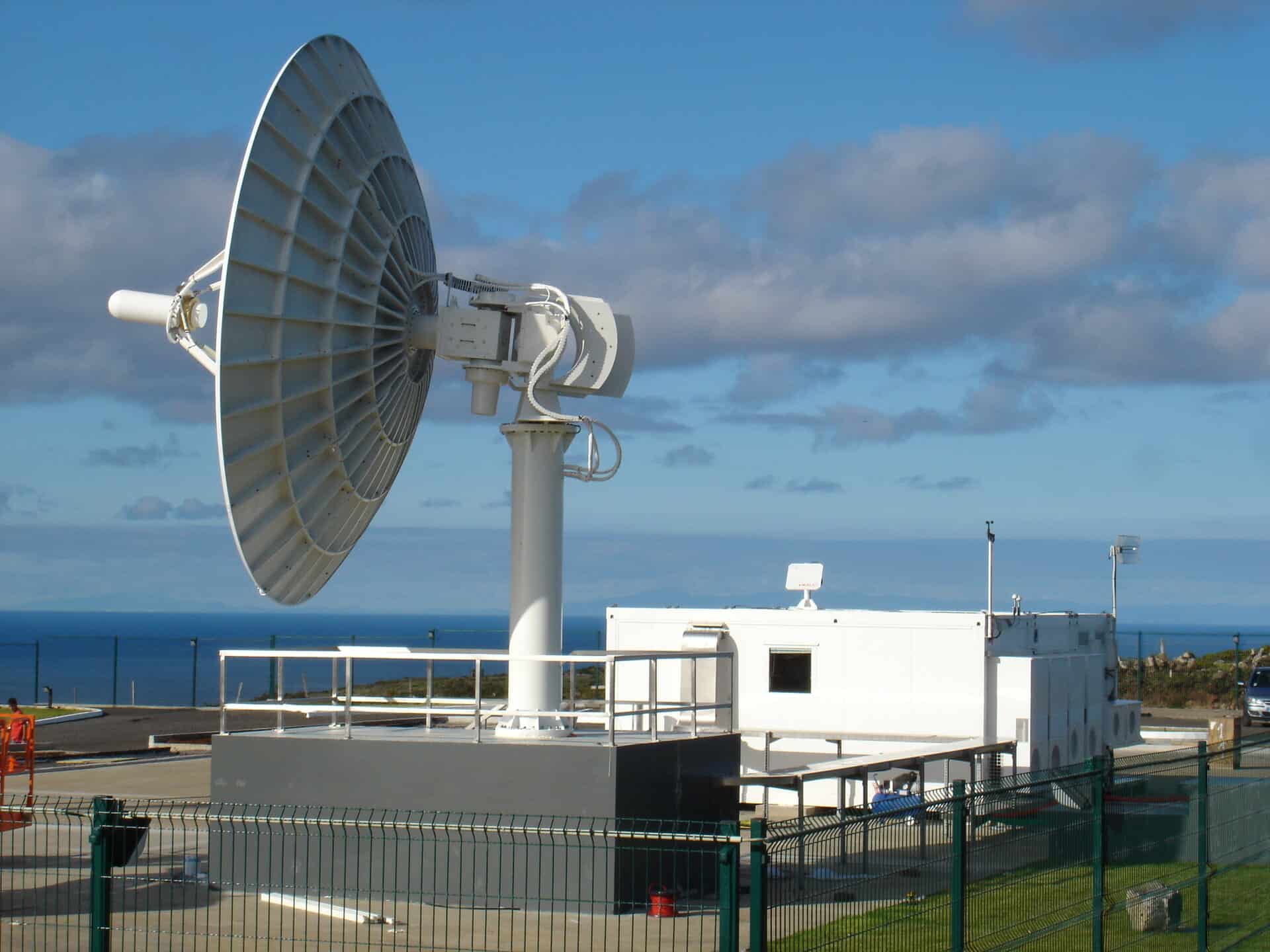
On the fourth and final stage of the Grande Rota, you’ll pass through the Barreiro da Faneca, Santa Maria’s red clay desert, via the European Space Agency’s Galileo satellite tracking station, to the village of Anjos, location of the first settlement in the Azores (around 1439). Passing by Santa Maria’s airport, once famous as a refuelling point for Concorde services between Paris and Caracas, you’ll arrive back in Vila do Porto, completing your circuit of Santa Maria.
Footpath app route with live tracking
Download a printable Azores Trails guide
Areia Branca – Santa Maria PR06 SMA
Linear // 11.6 km // Medium
This excellent route connects two white-sand beaches, unique in the Azores. Starting on the southern coast at Praia Formosa, the trail crosses the south east corner of Santa Maria, ascending Pico Alto (the highest point of Santa Maria) before descending to the north east coast at the bay of Sao Lourenco.
Footpath app route with live tracking
Download a printable Azores Trails guide
Costa Norte – Santa Maria PR01 SMA
Linear // 9 km // Medium
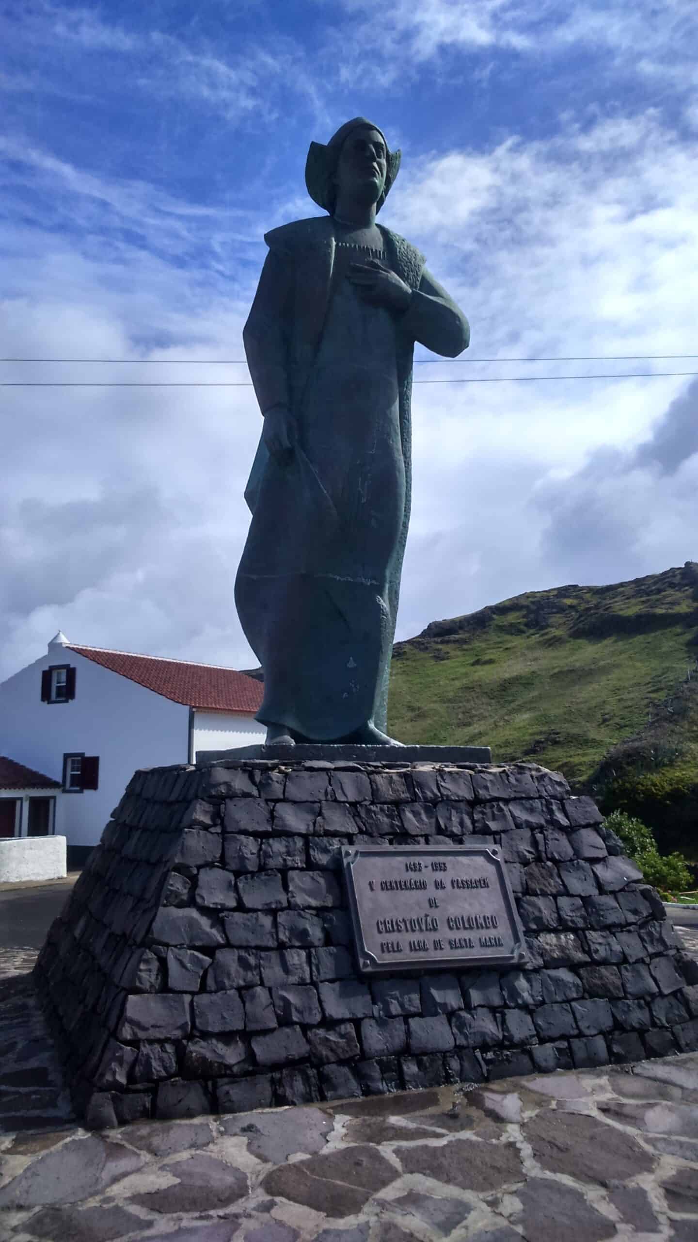
A section of the Great Route, this 9km excerpt explores the north coast from Bananeiras to Anjos, with smashing views over the sea. You’ll find a statue of Christopher Columbus in the centre of the village – where he made land heading home from the Americas in 1493. You’ll also walk through the fascinating Red Desert formed by the last eruption on the island.
Footpath app route with live tracking
Download a printable Azores Trails guide
Costa Sul – Santa Maria PR05 SMA
Linear // 6.5 km // Easy to Medium
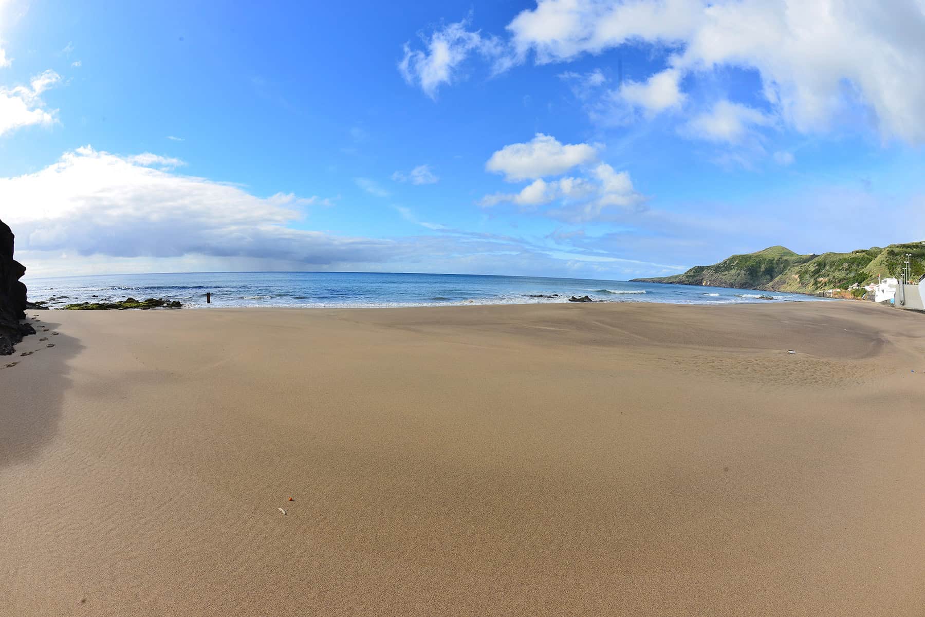
This route connects Vila do Porto to the beach at Praia Formosa. It’s also the first section of the Great Route. We’d recommend walking the trail east to west as then (as you’re probably staying in Vila do Porto) you can take your time walking back to town.
Footpath app route with live tracking
Download a printable Azores Trails guide
Pico Alto – Santa Maria PRC02 SMA
Circular // 6.2 km // Medium
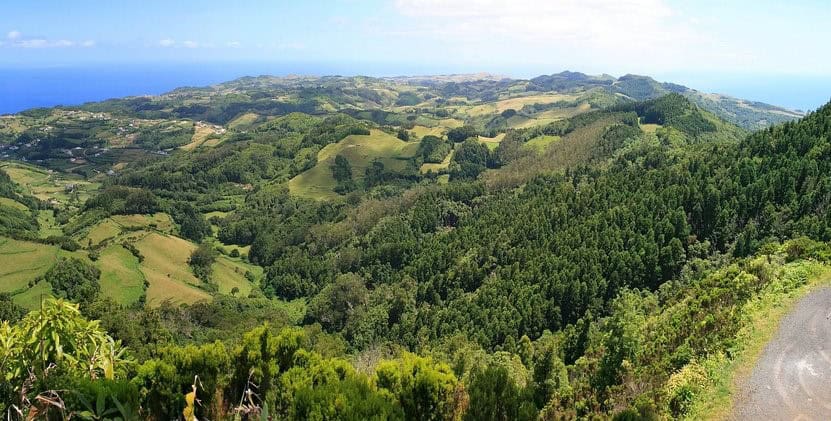
Unusual in that it starts and finishes at the high point of Santa Maria, this circular route explores the high ground and western slopes of Pico Alto. There are impressive views of the whole of the island, especially the west coast.
Footpath app route with live tracking
Download a printable Azores Trails guide
Entre a Serra e o Mar – Santa Maria PRC03 SMA
Circular // 9.8 km // Medium
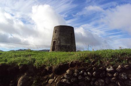
This circular route explores the high ground of the eastern slopes of Pico Alto, above the bay of Sao Lorenco. If you’re keen and have time you could add the descent/reascent to the bay itself – this adds 250m of descent/ascent.
Footpath app route with live tracking
Download a printable Azores Trails guide
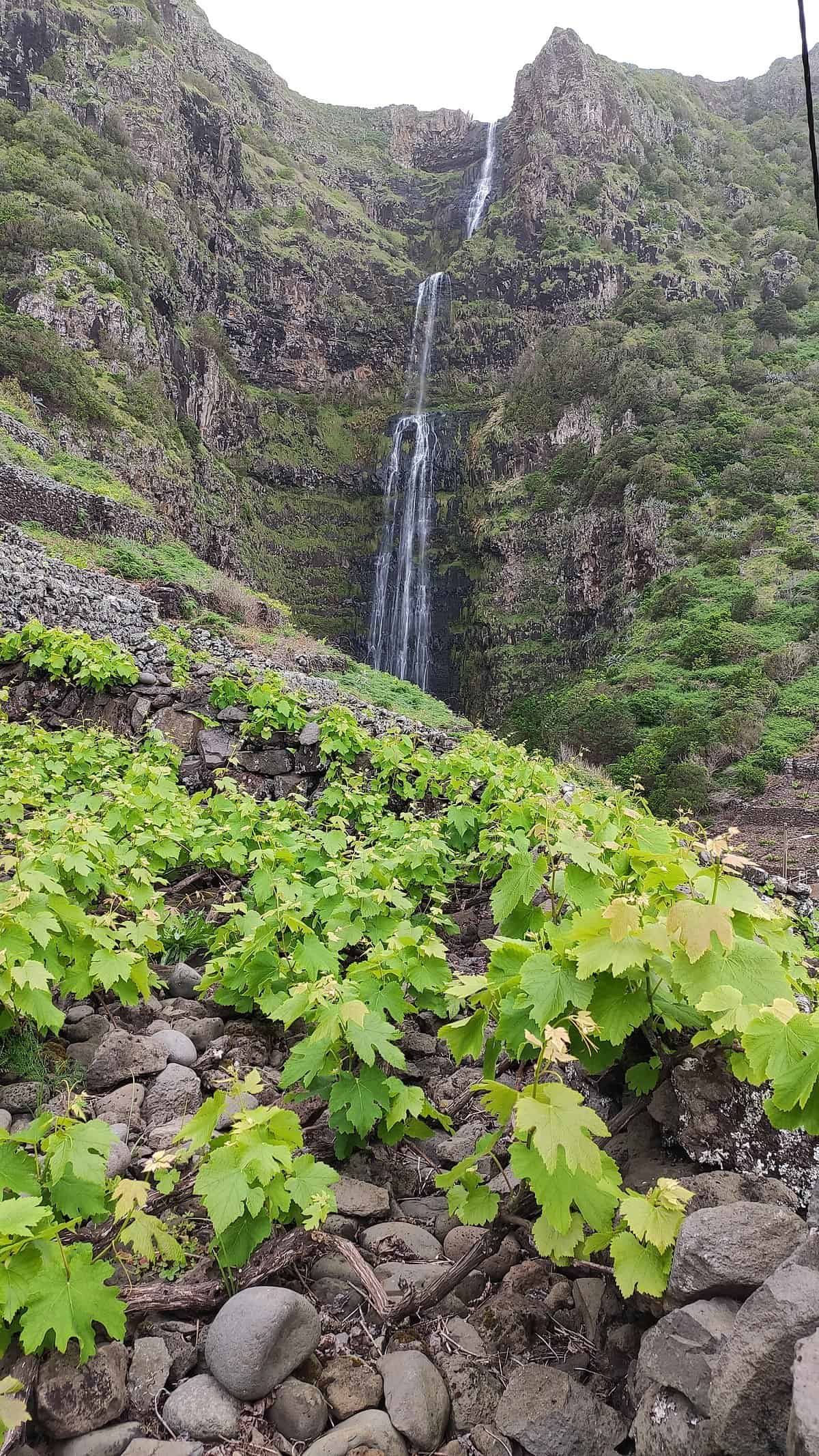
Santo Espírito – Maia – Santa Maria PR04 SMA
Linear // 4.1 km // Easy
A descent from the town of Santo Espirito to the coast, snack bars and bathing pools at Maia. If there’s been recent rain, when you get to the coast, take a detour north to the waterfall Cascata do Aveiro.
Footpath app route with live tracking
Download a printable Azores Trails guide
Archipelago Choice – the Azores Specialists
We specialise in tailor-made holidays to the nine islands of the Azores. Our experienced team of specialists are ready to put together your personalised trip; just give them a call on 017687 721020.









Follow us online